Hickman Bridge Trail
Easy–Mod
1.7 mi+400 ft~1.5 hr
A steady climb to a 133-foot natural bridge with views back over the Fremont River valley. No permit.
 National
Utah · Park 24 / 64
A 100-mile wrinkle in the earth's crust, a pioneer orchard still bearing fruit, and Utah's quietest Mighty 5 park.
Capitol Reef gets a fraction of the crowds that pour into Zion or Arches, and almost everyone who has been to all five will tell you that's the park's real advantage. Its defining feature is the Waterpocket Fold, a nearly 100-mile wrinkle in the earth's crust where rock layers buckled upward instead of breaking, creating a wall of cliffs and domes that early Mormon settlers thought resembled the U.S. Capitol building, which is where the park gets half its name.
The other half comes from a literal reef: early travelers found the sandstone cliffs as much a barrier to wagon travel as any ocean reef was to ships. In the middle of all that rock sits Fruita, a small orchard community settled in the 1880s that the park still maintains, with historic fruit trees visitors can pick from in season for a small self-serve fee.
Come for the quiet. Stay for the orchard, the arch, and the fact that you'll likely have most of it to yourself. Read the story, trust the live data above for what is open today, and when you leave, mark it visited.

This is a Utah wonderland, an area little known but of exceeding beauty, well worthy of being made a national park.Adapted from early National Park Service surveys that led to Capitol Reef's 1937 monument designation
Six ways to spend your time, from a pioneer orchard to a hidden gorge with petroglyphs at every turn.
A moderate climb to a 133-foot natural bridge, the park's signature short hike and one of the best photo spots.
The signature walkHistoric pioneer orchards still bearing cherries, apricots, peaches, and apples, open for self-serve picking in season.
Families · seasonalA narrow, one-way scenic drive through a wash carved by centuries of flash floods, ending at a trailhead with pioneer register signatures.
Casual · road-trippersFremont culture rock art visible from an accessible boardwalk a short walk from the main road.
Everyone · 15 minNamed for outlaw Butch Cassidy, this trail climbs to a viewpoint directly above a massive natural arch.
Half day · confident hikersA restored 1908 farmhouse selling fresh-baked pie and jam, the closest thing the park has to a bakery.
Everyone · arrive before 10amAnswer a few questions right here. We'll map your day, stop by stop, with a route, timings, weather, and a packing checklist grounded in real park data. No account, no leaving this page.
⚡ In a hurry? Adventure Light 5 questions →Every trail rated honestly, with distance, climb, and a note on which ones follow an old wagon-worn wash.
A steady climb to a 133-foot natural bridge with views back over the Fremont River valley. No permit.
A flat walk down a narrow wash once used as the main highway through the reef, past pioneer register signatures and water tanks. No permit.
A flat out-and-back through a narrow, high-walled canyon, one of the most dramatic easy walks in the park. No permit.
A steady climb up slickrock to a viewpoint looking straight down onto a massive natural arch. No permit.
A steep initial climb from Fruita into a hidden canyon, said to have sheltered polygamist families hiding from federal marshals. No permit.
A remote, twisting canyon deep in the Waterpocket Fold with natural arches along the rim. A wilderness permit is required only for overnight camping.
No permit for day hikes · free backcountry permits for overnight camping in the Waterpocket Fold district · high-clearance recommended beyond Capitol Gorge
Tap any animal to learn its story. Soon, the app will let you log what you spot and keep a life list for every park.
Common right in the Fruita historic district, often grazing near the orchards and campground in early morning.
Reintroduced to the park after disappearing in the early 1900s, now working the steep terrain of the Waterpocket Fold.
A raccoon relative with a long striped tail, hunting the canyon country at night and almost never seen by day visitors.
Nests on the sheer sandstone cliffs of the reef, occasionally visible diving over the canyons at high speed.
Breeds in temporary pools left by flash floods in slot canyons, its call a common desert-night sound after summer storms.
Males wander in search of mates each fall, occasionally crossing park roads on warm evenings.
A large ground squirrel common along the park's popular trails, adept at climbing sandstone to reach picnic areas.
Cherry, apricot, peach, and apple trees planted by Mormon pioneer settlers in the 1880s, maintained by the park and open for seasonal self-serve picking.
Common on the drier slopes throughout the park, tough enough to survive in the thinnest desert soils.
A delicate white bloom found in the park's grasslands each late spring, historically used as a food source by Indigenous peoples and early settlers.
Bright scarlet spikes scattered along the reef's canyon rims each spring, partly parasitic on nearby grasses.
Erupts in vivid red, cup-shaped flowers each spring, visible from a distance against the pale sandstone.
Lines the Fremont River through Fruita, providing the only significant shade canopy in an otherwise exposed landscape.
The Waterpocket Fold stretches nearly 100 miles, one of the longest monoclines, or single-direction rock folds, in North America.
The park's name combines a rock formation resembling the U.S. Capitol building with a nautical use of "reef" for a barrier to travel.
Fruita's historic orchards, still maintained by the park, were planted by Mormon pioneer settlers beginning in the 1880s.
Capitol Reef was designated a national monument in 1937 and upgraded to full national park status in 1971.
The questions people actually ask, answered from the park’s own current guidance. Fees and permit rules change every year, so each answer links back to the National Park Service page it came from.
A private vehicle pass is $20 and covers 7 days. A motorcycle is $15, and anyone arriving on foot or by bicycle (age 16 and up) pays $10 per person. Kids under 16 get in free, and a park-specific annual pass costs $35. Source: NPS.gov
Yes. The historic Fruita orchards, planted by Mormon pioneers starting in the 1880s, are still maintained by the park, and visitors are allowed to pick and eat fruit in the orchards while it's in season. You can also buy picked fruit and nuts to take with you. Source: NPS.gov
It's an 87-mile-long ridge, essentially a giant wrinkle in the earth's crust, that runs through the park and shapes most of what you're looking at. Early prospectors called it a "reef" because it was such a formidable barrier to travel, which is part of where the park's name comes from. It's the reason the park's rock layers look tilted and folded rather than flat. Source: NPS.gov
Stories, guides, and hard-won tips from the trail. The full Capitol Reef deep dive lives on the blog.
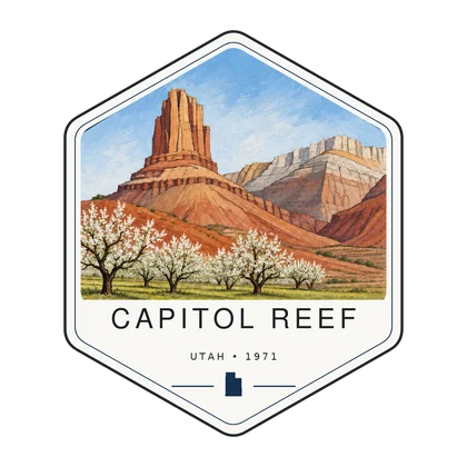
Log the visit, keep your story, and watch the map of all sixty-four fill in behind you. Every visit has a keepsake worth holding.
West through Utah's Mighty Five: from an orchard in the reef to a canyon of stone spires.
Open Park 05 → The collectionSee the full map and track every park you have visited.
View the map → PlanTurn Capitol Reef into a road trip with a custom, day-by-day itinerary.
Start planning → Go deeperJoseph Hickman pushed the bill that protected this bridge, then drowned four days after its dedication.
Read it →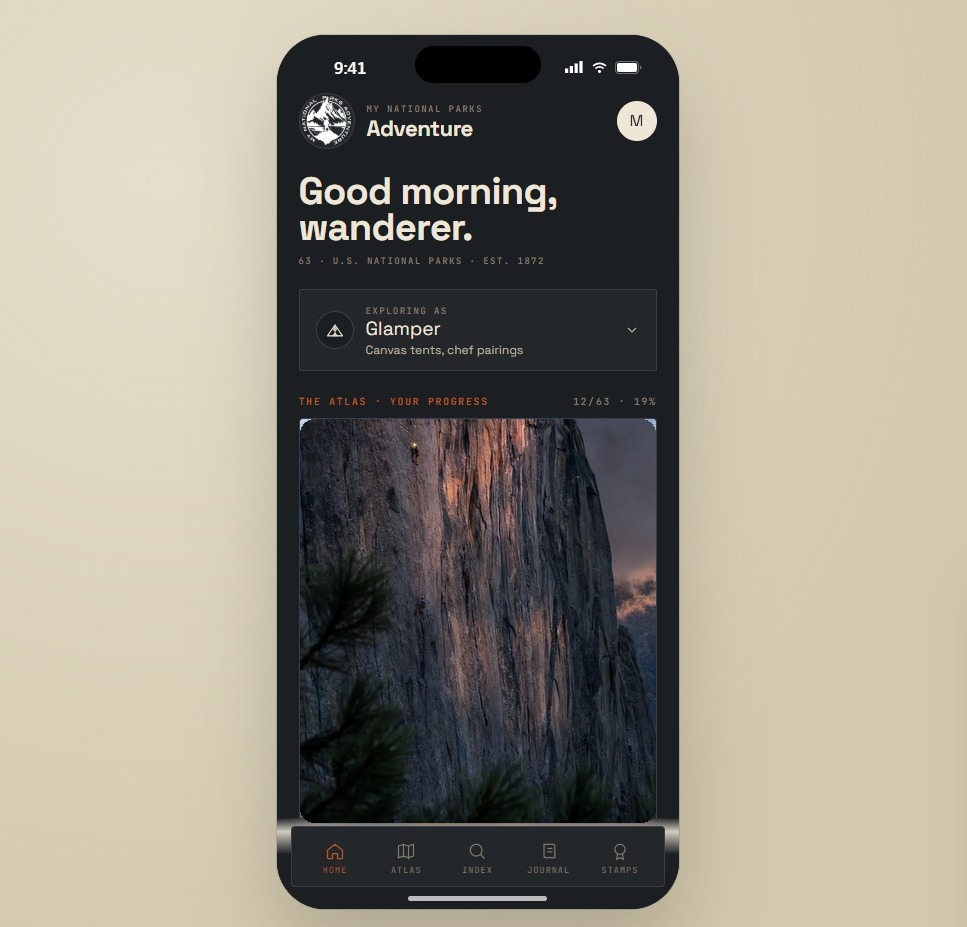
Offline maps, your passport, and every park in your pocket on the trail.
Join the waitlist →
The printed edition, part atlas, part journal, one story per park.
Notify me →Park-guide posters, enamel stamps, and the passport book to fill in.
Visit the shop →Field Notes
The parks do not perform for anyone. They stood here before the road, and they will stand here after it.