
For nearly eighty years, if you lived in Fruita and needed to get east, there was exactly one way through: a narrow, twisting gorge barely wider than a wagon, cleared by hand in 1884 and re-cleared by hand every time a flash flood filled it back in. Highway 24 didn't exist yet. This gorge was the highway.
Travelers who passed through left their names carved in the sandstone walls, a record that still survives today, protected now by federal law instead of just isolation. And a few hundred yards past where the wagon road ends, a set of natural stone basins holds the answer to a question most visitors don't think to ask: why is this place called Capitol Reef in the first place?
Cleared by Hand in 1884
Pioneers cleared the wagon road through Capitol Gorge in 1884, and for close to eighty years it served as the only real eastbound route out of Fruita, the small Mormon farming settlement at the park's center. The gorge is narrow enough in places that a full-sized wagon barely fit, and it ran directly through a wash, meaning every serious flash flood filled it back in with rock and debris that had to be manually cleared before anyone could pass through again. That arrangement lasted until 1962, when the completion of Highway 24 finally gave Fruita a real road that didn't double as a streambed.
The Pioneer Register
Along the gorge walls, generations of travelers carved their names, dates, and sometimes short notes into the sandstone, a collection now known as the Pioneer Register. Most of the surviving names date from the late 1800s through around 1930, a rough visitor log left by people who had no way of knowing anyone would still be reading it a century later. The register is federally protected today, which means adding your own name next to theirs isn't a quirky tradition to continue, it's a federal crime. The names that are already there are the whole point: a firsthand, dated record of who actually used this route, written by the people who had no other option.
Walk the Capitol Gorge Trail
The Pioneer Register and the Tanks sit along an easy, mostly flat trail. The trip planner can pair it with Fruita's orchards in one afternoon.
Open the Trip PlannerNatural Water Basins in Solid Rock
Past the Pioneer Register, a short spur trail climbs to a set of natural potholes carved into the rock, known simply as the Tanks. They fill with rainwater and snowmelt and can hold it for weeks or months at a time in a landscape where standing water is otherwise rare, which made them a genuinely useful resource for both Native peoples and the pioneers who followed the wagon road through. They're also a small-scale example of the same water-carved-pocket geology that gives the entire regional landform its name.
- Wagon road cleared 1884
- Used as main route until 1962
- Pioneer Register dates LATE 1800s–~1930
- Adding a name today FEDERAL CRIME
A Reef With No Ocean in Sight
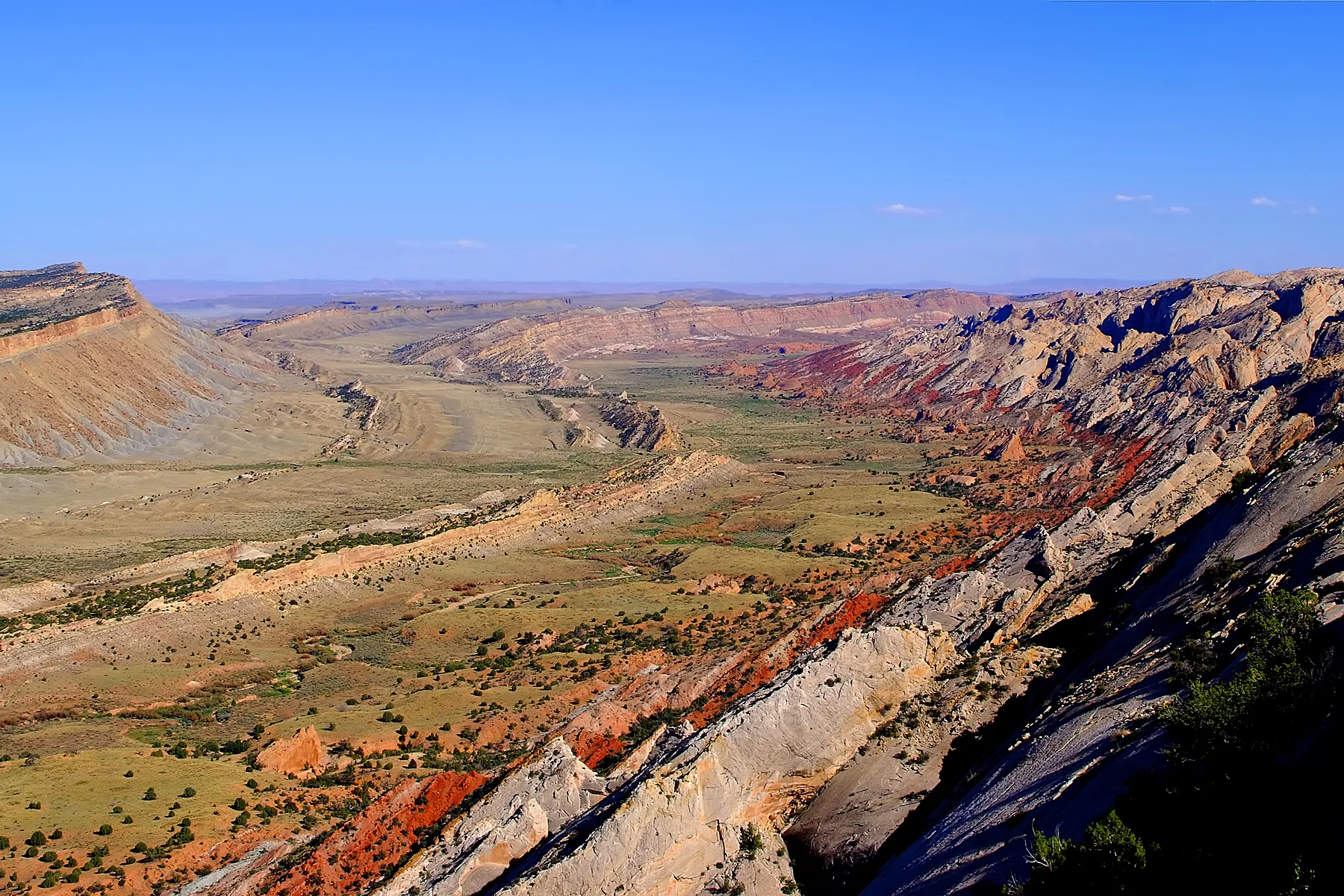
Early settlers used the word "reef" the way sailors use it, for any long ridge that blocks passage, and the Waterpocket Fold, a nearly hundred-mile wrinkle in the earth's crust running through the park, does exactly that: a parallel set of impassable cliffs and ridges that early travelers had to find a way around or through, this gorge being one of the few options. "Capitol" comes from a specific stretch of white Navajo Sandstone domes and cliffs, running from the Fremont River to Pleasant Creek, that struck early visitors as resembling the U.S. Capitol building's rounded dome. Put together, the park's name describes exactly what it is: a barrier of stone shaped like a government building, and the Tanks a few hundred yards from the Pioneer Register are a small, direct example of the "waterpocket" half of the fold's own name, water sitting in stone pockets, doing on a small scale what the whole formation does across nearly a hundred miles.
Facts and figures checked against NPS.gov's Capitol Gorge and Scenic Drive materials, and its published history of the Waterpocket Fold and the park's name origin.
The wagon road through Capitol Gorge stopped being anyone's only option in 1962, and it's an easy, mostly flat walk today for anyone who wants to read the names pioneers left behind rather than clear rockfall out of the way to pass through. The Tanks still fill with rain the same way they always have. So does the whole Waterpocket Fold, at a scale that gave this entire park its name, one that's been hiding a hundred-mile-long joke about a landlocked reef in plain sight the entire time.