
Mount Redoubt is an active stratovolcano. It is also, on any ordinary day, just a mountain: 10,197 feet (3,108 meters) of it, rising over the Aleutian Range, climbed the way any mountain gets climbed. Nowhere else in Alaska do those two facts sit quite so close together, and that's as good a way as any into what the state's peaks actually are: not one kind of mountain repeated at different heights, but four distinct ranges, each built by a different set of forces.
Alaska Range
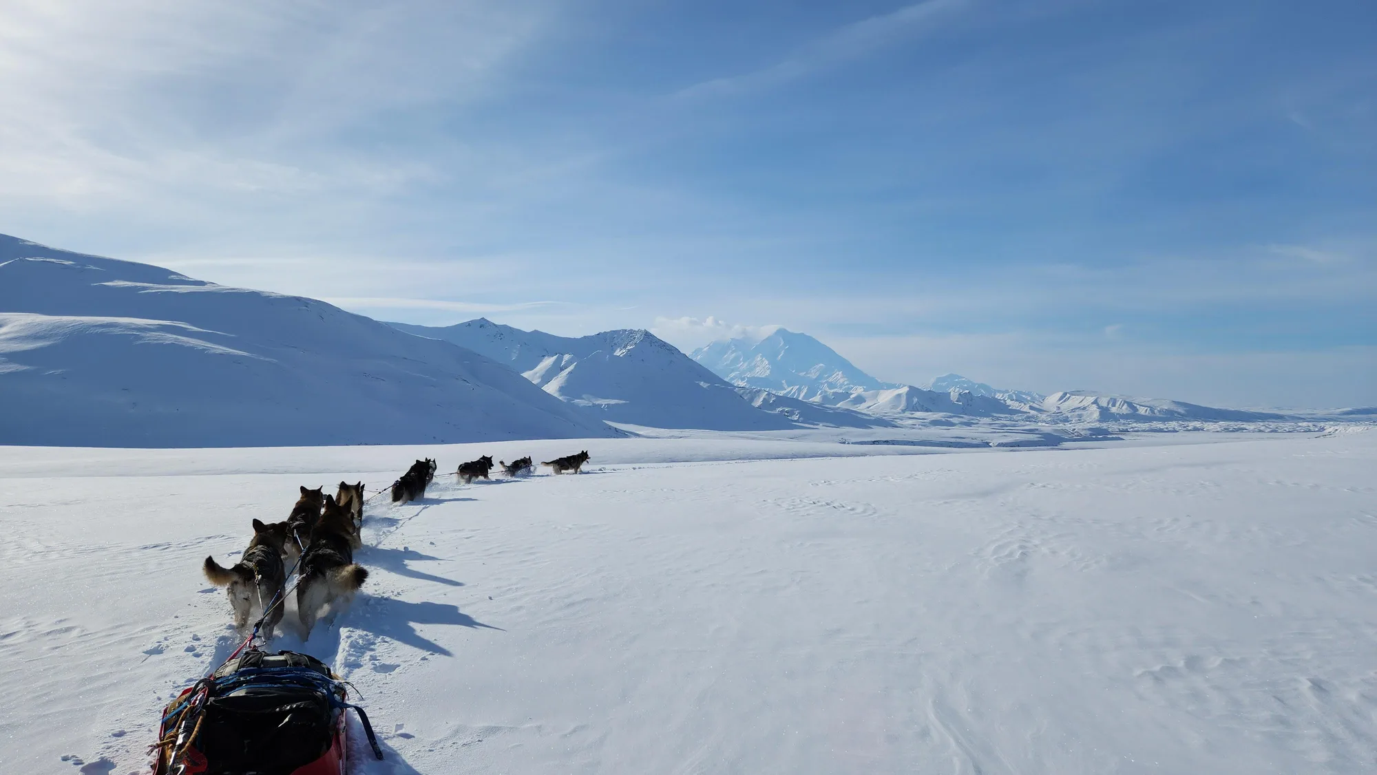
- Denali 20,310 FT (6,190 M) · HIGHEST POINT IN NORTH AMERICA
- Established 1917 AS MOUNT MCKINLEY NATIONAL PARK · RENAMED 1980
- Size 6,045,153 ACRES
Start with the range that holds the state's most famous peak. Denali rises to 20,310 feet (6,190 meters), the highest point in North America, its snow-capped summit visible for miles before you're anywhere near its base. The elevation number gets repeated often enough to become abstract; what it actually buys Denali is prominence and sheer magnitude that make it the iconic symbol of the Alaskan wilderness, the peak every other Alaska Range summit gets measured against.
Coast Range
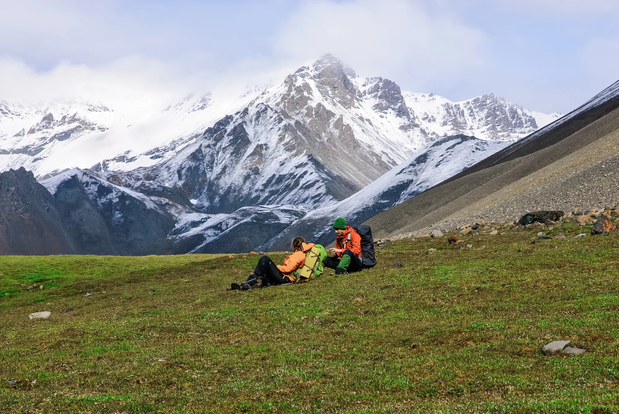
- Mount Saint Elias 18,008 FT (5,489 M) · ON THE ALASKA–CANADA BORDER
- Mount Fairweather 15,325 FT (4,671 M) · STEEP, ICY SUMMIT
- Wrangell-St. Elias 13.2M ACRES · LARGEST NATIONAL PARK IN THE U.S.
- Glacier Bay 1,045 GLACIERS · ESTABLISHED 1980
Head south, toward the water, and the range changes character. Mount Saint Elias straddles the Alaska–Canada border at 18,008 feet (5,489 meters), its glaciated slopes and dramatic relief enough to make it a magnet for mountaineers on both sides of the line. Not far off, Mount Fairweather climbs to 15,325 feet (4,671 meters), known specifically for its steepness and its icy summit, a name that undersells the mountain considerably.
Plan Your Own Alaska Route
Four ranges, eight parks, one trip planner: turn any Alaska park into a day-by-day plan built around your dates.
Open the Trip PlannerBrooks Range
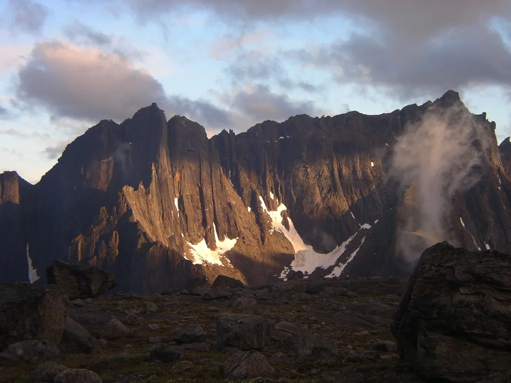
- Mount Isto 8,975 FT (2,736 M) · BROOKS RANGE HIGH POINT
- Mount Igikpak 8,276 FT (2,522 M) · RARELY VISITED
- Size 8.47M ACRES · SECOND-LARGEST U.S. NATIONAL PARK
- Access NO ROADS OR OFFICIAL TRAILS · BUSH PLANE OR HIKE IN
Farther north and west, past the coastal weather, the terrain turns rugged in a different way. For decades, maps called Mount Chamberlin the roof of the Brooks Range at 9,020 feet, a figure that got repeated in guidebooks for a generation. A 2016 GPS and aerial survey found the old number was wrong: Chamberlin actually stands closer to 8,899 feet, and the real high point is Mount Isto, 8,975 feet, in the range's eastern reaches. Nearby, in Gates of the Arctic itself, Mount Igikpak reaches 8,276 feet (2,522 meters), remote enough, and visited rarely enough, to count as one of the state's genuine hidden gems.
Aleutian Range
- Elevation 10,197 FT (3,108 M)
- Status ACTIVE STRATOVOLCANO · ERUPTED 1989 AND 2009
- Size 4,030,015 ACRES · ESTABLISHED 1980
- Mount Iliamna 10,016 FT · DORMANT, WITH ACTIVE FUMAROLES
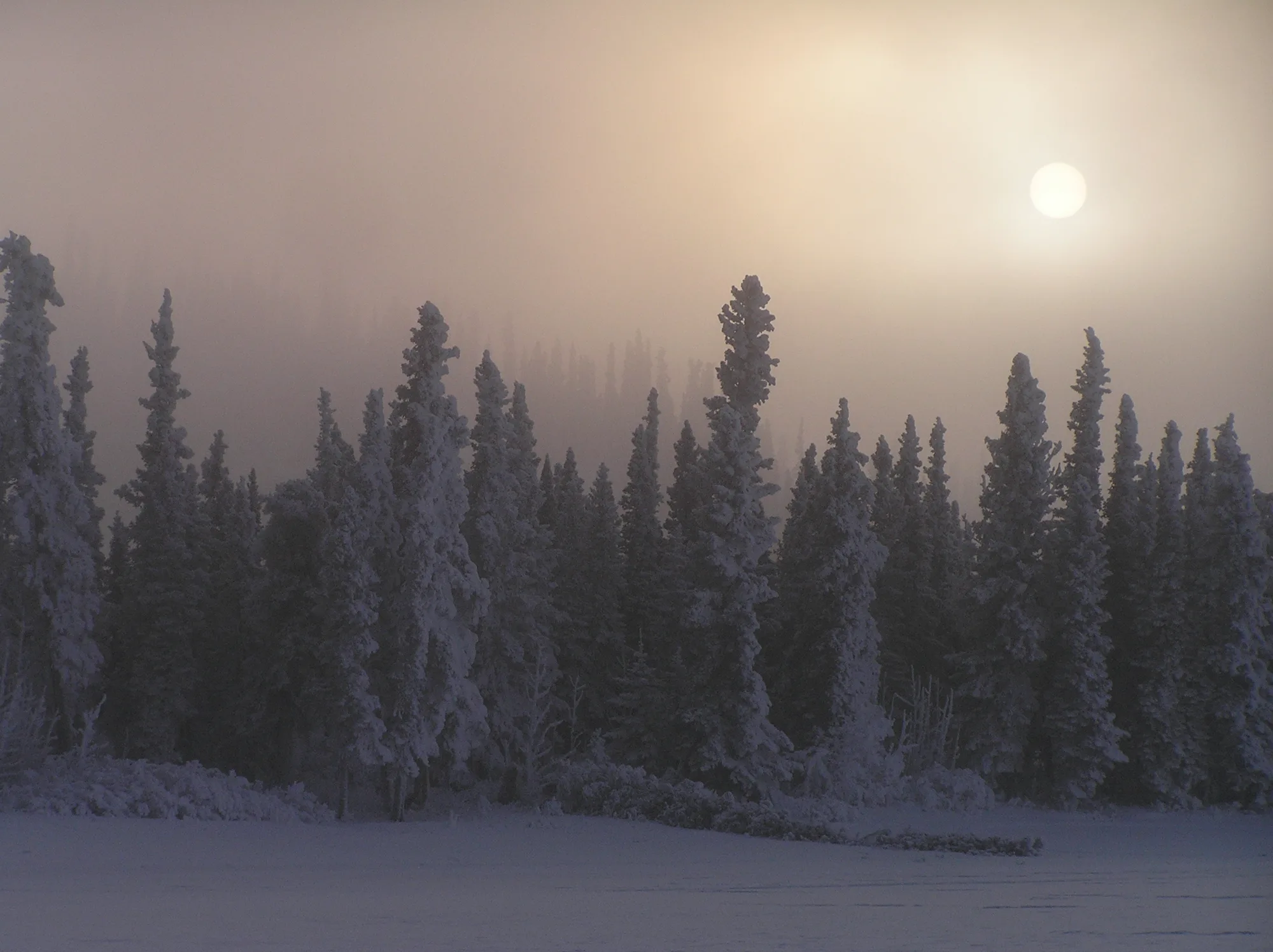
Which brings the loop back to Redoubt, out west in the Aleutian Range. The peaks around it were built the same way the other three ranges were, by faulting, by ice, by pressure. Redoubt is still being built. That's the difference worth noticing: a live volcano standing next to a merely scenic summit, on the same skyline.
Four Ranges, One Wilderness
Four ranges, four different reasons a mountain ends up that shape and that tall. Two of the parks built around them, Wrangell-St. Elias at 13.2 million acres and Gates of the Arctic at 8.47 million, rank as the largest and second-largest units in the entire national park system, and neither has a road running into its interior; you fly in or you hike in. Glacier Bay alone holds 1,045 glaciers, still carving the same kind of valleys that shaped the Coast Range's peaks. And Redoubt has erupted twice since 1989, proof the Aleutian Range is still actively being built rather than simply eroding down like the other three.
Elevations, park acreages, and glacier counts checked against NPS.gov and USGS.gov. Mount Chamberlin's long-cited elevation and its "high point" claim were superseded by a 2016 GPS and aerial-survey remeasurement; we corrected that in the text above rather than repeating the outdated figure.