Root Glacier Trail
A relatively flat approach to the glacier itself, mostly easy, with rougher terrain the further out onto the ice you go.
NationalAlaska · Park 55 / 63
The largest national park in the United States, six times the size of Yellowstone, reachable at its most famous corner by a single 60-mile gravel road.
Wrangell-St. Elias is the largest national park in the United States by a wide margin, at over 13 million acres, roughly six times the size of Yellowstone and larger than several entire states. Four major mountain ranges converge within its boundaries, including nine of the sixteen highest peaks in the country, and more than half of the park's total area sits under permanent ice, glaciers and icefields that together make up North America's largest concentration of glacial ice outside the poles.
Almost none of this vastness has a road. The one meaningful exception is the McCarthy Road, a 60-mile gravel route built on an old copper-mining railroad bed, connecting the town of Chitina to a footbridge across the Kennicott River. On the far side sit McCarthy and Kennecott, twin former mining towns where the Kennecott Copper Corporation once ran one of the richest copper mines in the world, its towering red mill building still standing above the glacier that made the operation possible.
Come for the drive itself, since reaching McCarthy is genuinely part of the experience here. Stay for the Root Glacier, walkable with the right gear right from town. Read the story, fuel up before you leave pavement, and when you leave, mark it visited.
Big mountains, big glaciers, big rivers, big country. Nowhere else in North America stands a comparable range of scale.Adapted from a guide to Wrangell-St. Elias National Park's scale
Six ways to spend your time, once you've made the drive out the McCarthy Road.
A 60-mile gravel route through the Wrangell Mountains; part of the destination in its own right, not just a way to get somewhere.
The essential drive · check rental terms firstA guided tour through the towering red copper mill, once one of the richest mining operations in the world.
Half day · ticketed tours availableOne of the most accessible glacier hikes anywhere, right from McCarthy with basic crampons.
Half day · crampons requiredThe main park headquarters on the Richardson Highway, with exhibits and current road condition updates.
Everyone · 45 min, on the way inWith over 100 miles of roadway across 13 million acres, an aerial view is the only way most visitors will see the park's true scale.
Half day · scenic flight operatorsA quieter, 42-mile gravel alternative on the park's north side, with no town at the end but tremendous mountain views.
Half day · high-clearance recommendedAnswer a few questions right here. We'll map your day, stop by stop, with a route, timings, weather, and a packing checklist grounded in real park data. No account, no leaving this page.
⚡ In a hurry? Adventure Light 5 questions →Every route rated honestly. This is one of the least trail-developed parks in the system; most exploration follows rivers and ridgelines rather than maintained paths.
A relatively flat approach to the glacier itself, mostly easy, with rougher terrain the further out onto the ice you go.
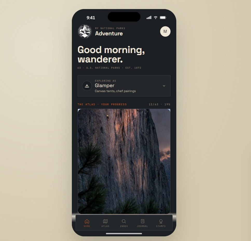
A guided walk through the historic copper mill building, the centerpiece of the ghost town of Kennecott.
A steep climb above Kennecott to the remains of a historic mine, with sweeping views of the surrounding glaciers.
A quieter alternative to McCarthy Road on the park's north side, with campgrounds and mountain views but no town at the end.
A steep, unmarked scramble to a peak between the Root and Kennicott glaciers, requiring genuine off-trail route-finding skill.
The vast majority of the park has no trail at all; most backcountry travel follows river bars and ridgelines, often reached by bush plane.
No permit for day activities near McCarthy · free backcountry permits recommended for remote travel · McCarthy Road is 60 miles of gravel with no fuel, food, or cell service along the way, and most standard rental car agreements prohibit it
Tap any animal to learn its story. Soon, the app will let you log what you spot and keep a life list for every park.
Common throughout the park's vast wilderness; bear safety precautions, including bear spray, are considered mandatory here, not optional.
Common on the steep terrain throughout the Wrangell and Chugach mountain ranges within the park.
Ranges throughout the park's remote interior, rarely encountered given the enormous scale of available territory.
Common in the park's river valleys and wetland areas, especially visible near Copper Center and along the Nabesna Road.
Breeds in some of the park's remote wetlands, part of a broader recovery of the species across Alaska.
The Copper River, which borders the park, supports one of Alaska's most significant wild salmon runs.
Migratory herds pass through parts of the park's northern preserve lands seasonally.
Common throughout the park's lower-elevation boreal forest, part of Alaska's vast interior taiga.
Common throughout the park's disturbed and open areas, a fast-colonizing wildflower and Alaska's official state flower.
Contributes to the park's vivid autumn color each September, found in mixed stands throughout the boreal forest.
Often one of the first plants to colonize ground newly exposed by a retreating glacier, found near Root Glacier's edges.
A diverse community of low, hardy alpine plants covers the park's vast above-treeline terrain.
Found in the park's boggy, poorly drained lowland areas, tolerant of waterlogged, nutrient-poor soil.
At over 13 million acres, Wrangell-St. Elias is the largest national park in the United States, roughly six times the size of Yellowstone.
The park contains nine of the sixteen highest peaks in the United States, including Mount St. Elias, the second-highest peak in both the U.S. and Canada.
More than half the park's area is covered in permanent ice, including the Malaspina Glacier, the largest piedmont glacier in North America.
Together with adjoining Canadian parks, Wrangell-St. Elias forms a 24-million-acre internationally protected wilderness, the largest in the world.
The questions people actually ask, answered from the park’s own current guidance. Fees and permit rules change every year, so each answer links back to the National Park Service page it came from.
No, Wrangell-St. Elias doesn't charge an entrance fee at all. There's no entrance gate on either of the park's two roads, so you won't pay anything just to drive in. Source: NPS.gov
Yes, but only on two roads, and both are unpaved. Nabesna Road runs 42 miles into the northern part of the park and is usually manageable in a regular car, though high clearance helps after rain and there are three stream crossings. McCarthy Road is longer at 59 miles, narrow, with soft shoulders, and most rental car companies won't allow their vehicles on it; it stays technically open through winter but isn't regularly maintained, and there are no services in McCarthy or Kennecott once the season winds down. Source: NPS.gov
There's no formal backcountry permit, but the park strongly recommends filing a Backcountry Trip Itinerary before you head out, available at visitor contact stations or through most air taxi operators. Leave your route and expected return time with someone who will actually call for help if you're overdue, rangers won't start a search on their own initiative. This is the largest national park in the country and much of it is trackless wilderness, so that step matters more here than almost anywhere else. Source: NPS.gov
Stories, guides, and hard-won tips from the trail. The full Wrangell-St. Elias deep dive lives on the blog.

Log the visit, keep your story, and watch the map of all sixty-three fill in behind you. Every visit has a keepsake worth holding.
See the full map and track every park you have visited.
View the map → PlanTurn Wrangell-St. Elias into a trip with a custom, day-by-day itinerary.
Start planning → Go deeperDenali's 20,310-foot summit, Wrangell-St. Elias, Glacier Bay, and an active volcano: Alaska's parks by mountain range.
Read it → Explore moreFind your next park anywhere in the country.
Browse parks →
Offline maps, your passport, and every park in your pocket on the trail.
Join the waitlist →
The printed edition, part atlas, part journal, one story per park.
Notify me →
Park-guide posters, enamel stamps, and the passport book to fill in.
Visit the shop →Field Notes
The parks do not perform for anyone. They stood here before the road, and they will stand here after it.