
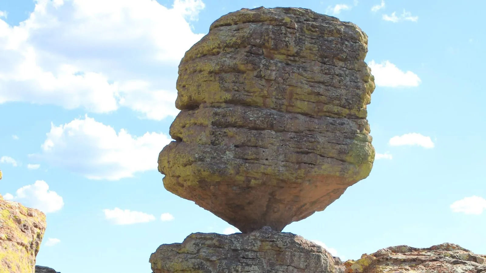
Pinnacle Balanced Rock looks like a mistake. A column of pale gray stone, taller than a house, sits on a base that seems far too small for it, and from the Heart of Rocks trail you can stand close enough to wonder which way it will go when it finally does.
It has not gone anywhere. The National Park Service describes the park's pinnacles as rising sometimes hundreds of feet, many of them balanced on a small base and seemingly ready to topple at any time. That "seemingly" is doing a lot of work, and it has been doing it for a very long time.
Every one of those columns is made of the same thing: volcanic ash. The story of Chiricahua's rocks is the story of how a layer of ash from one catastrophic day turned into thousands of stone towers, and why the forest of them is still standing.
Pinnacle Balanced Rock and Big Balanced Rock
Both balanced rocks are on the Heart of Rocks route, which NPS lists at 7.3 miles round trip from the Echo Canyon trailhead, along the Ed Riggs, Mushroom Rock, and Big Balanced Rock trails. The park recommends hiking the Heart of Rocks loop itself clockwise for the best views and easiest walking, and warns that it has a lot of rock steps.
The park does not publish a weight or a height for Big Balanced Rock, and the numbers that circulate online don't trace back to an NPS source, so we're leaving them out. What NPS does say is enough: the pinnacles are rhyolite tuff, the same rock as everything else up here, which means the balanced rocks are not boulders that rolled into place. They are what is left of a solid layer after the rock around them wore away.
The Eruption That Made the Rock
The source sits just south of the park boundary: the Turkey Creek Caldera, roughly 12 miles wide. According to NPS, a cataclysmic eruption about 27 million years ago threw out ash and molten debris at supersonic speeds and left that caldera behind.
The ash came down in layers that an NPS history of the area puts at about two thousand feet thick. Over time it settled, compacted, and fused into a rock called rhyolite tuff. That is the gray-brown stone you are walking on along every trail in the park.
The darker rock on top of Sugarloaf Mountain, the park's high point at 7,310 feet, is different. NPS identifies it as dacite from an ancient lava flow, a reminder that the eruption that made the pinnacles was not the only volcanic event this range has seen.
See the Pinnacles in One Morning
The 3.3-mile Echo Canyon Loop covers the densest rock formations in the park. The trip planner can fit it around Massai Point and the drive up Bonita Canyon.
Open the Trip PlannerCracks, Water, and Time
NPS explains the next part in one plain sentence: the rhyolite layer has fissured and eroded over time, forming the rock pillars. A solid sheet of rock cracked into blocks, and water worked down those cracks, widening them season after season until what had been one layer became a crowd of separate columns.
Walk the Echo Canyon trail and you can see the process at every scale. Some cracks are still hairlines. Some are passages wide enough to walk through, like the narrow slot hikers pass on the way into the canyon. Some have opened all the way down, leaving a free-standing spire with daylight on every side.
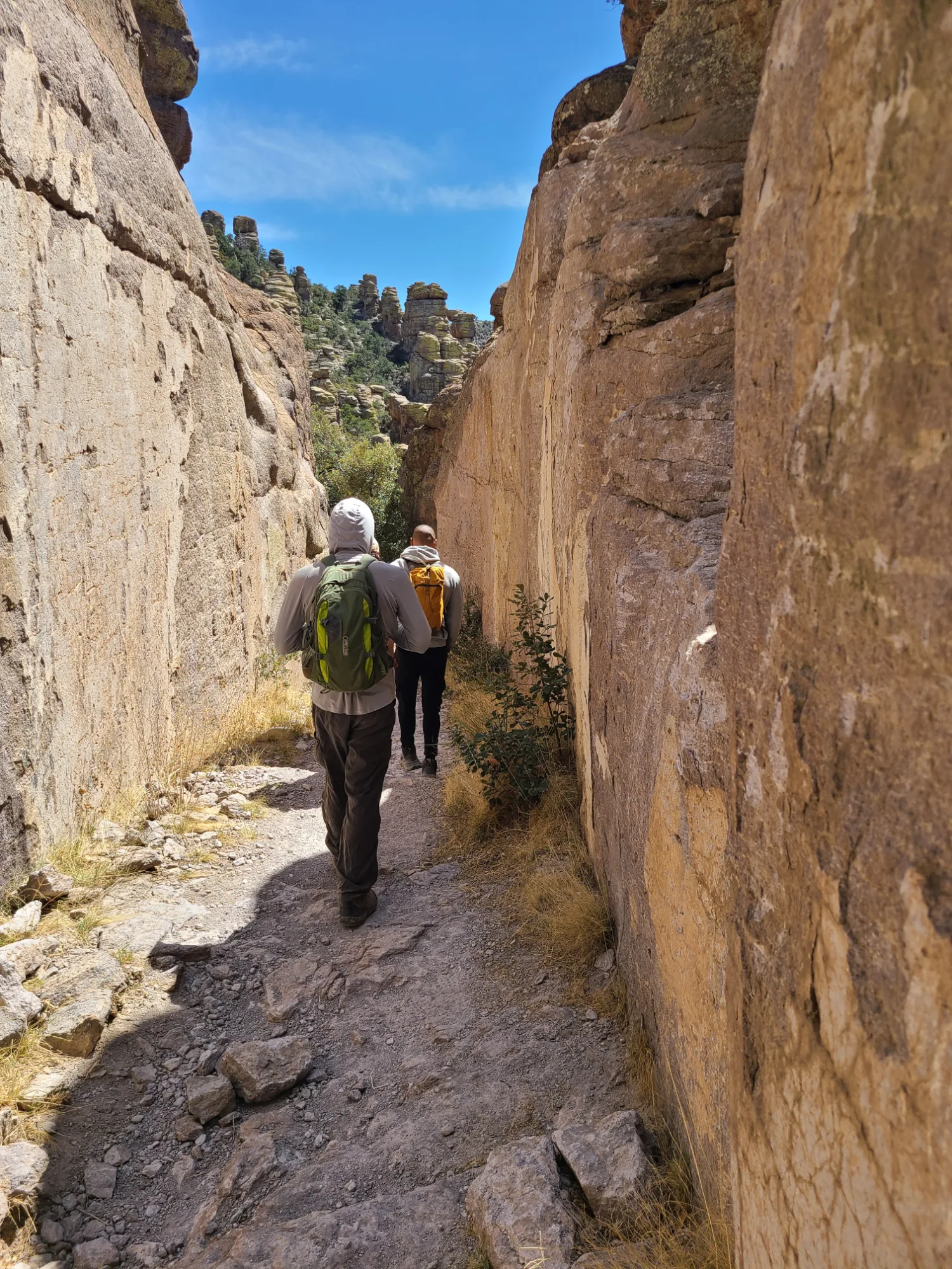
The balanced rocks are the same process caught at a late, unlikely stage, where the column has worn narrow at the bottom while a wider block still sits on top.
Then there is the time scale. Twenty-seven million years is long enough for the whole forest of pinnacles to form, and short enough that the youngest cracks are still opening.
Why Chiricahua Is a Sky Island
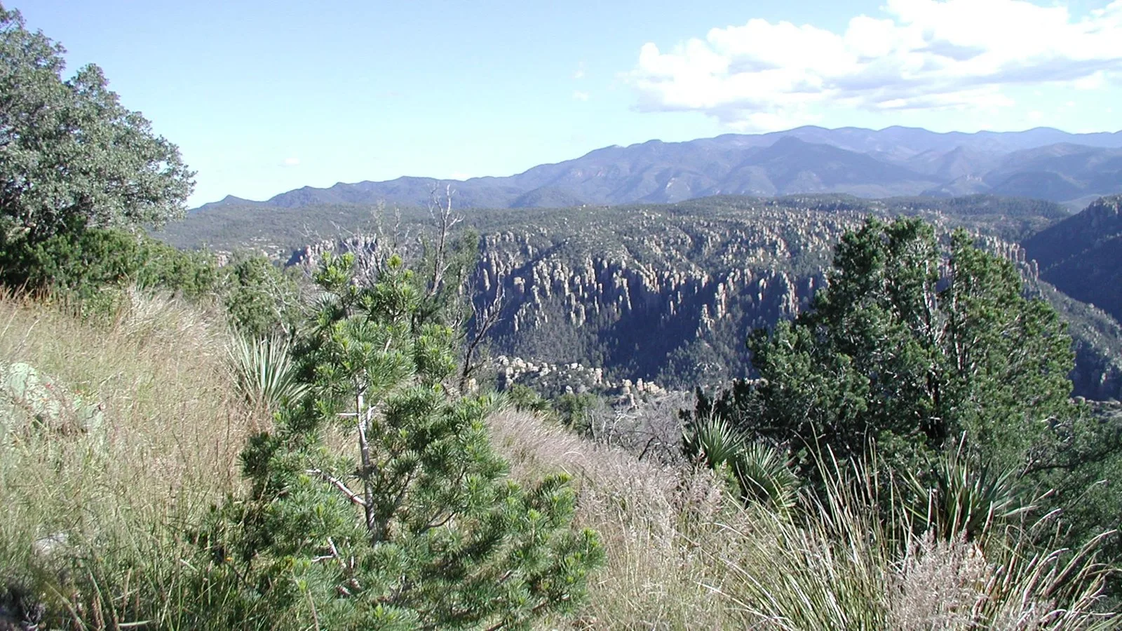
The Chiricahua Mountains are one of many sky islands in southern Arizona and part of the larger Basin and Range Province. NPS defines a sky island simply: an isolated mountain range that rises out of the surrounding desert "sea." This one rises about 6,000 feet above the Sulphur Springs Valley, and its highest point, 9,795-foot Chiricahua Peak, sits outside the park to the south.
That height difference is why four very different worlds meet here: the Rocky Mountains, the Sierra Madre of Mexico, the Sonoran Desert, and the Chihuahuan Desert. NPS counts more than 1,000 plant species in the park. Water is the other ingredient. It runs on the surface only now and then, but the park holds all or parts of five major watersheds, and its seeps and springs are what most of its animals depend on.
Who Named the Rocks
According to NPS, the Civilian Conservation Corps named many of the rock formations visitors see today, during the corps' years at the monument in the 1930s. The Chiricahua Apache had their own name for the whole place long before that: the Land of Standing-Up Rocks.
The best places to see the formations take an hour or a day. Massai Point, at the top of the 8-mile Bonita Canyon Drive, gives the full view at 6,870 feet. The Echo Canyon Loop covers the densest stands in 3.3 miles. The Heart of Rocks route takes four to six hours and reaches both balanced rocks.
- Rock type RHYOLITE TUFF
- Source TURKEY CREEK CALDERA
- Age of the eruption ~27 MILLION YEARS
- Caldera width ~12 MILES
- Best single hike ECHO CANYON LOOP
Facts and figures checked against NPS.gov's Chiricahua geologic formations page (eruption age, caldera width, rhyolite tuff, CCC naming), the NPS series The Story of Faraway Ranch (ash thickness), NPS sky islands and Sugarloaf Mountain Trail pages, the Heart of Rocks Loop page, and the park's 2026 hiking guide. NPS publishes no weight or height for Big Balanced Rock, so we didn't use the figures that circulate online. Photos: NPS, public domain.
Back at Pinnacle Balanced Rock, the column is still perched where it was, on a base that still looks too small. It is the same rock as the ground under your boots, cut loose by the same cracks that made everything else in view. The only difference is that this one has not finished falling yet.