Rim Trail · Sunrise to Sunset
Easy
1 mi+50 ft~45 min
The amphitheater’s front porch, paved between the two famous points. Thin air is the only difficulty. No permit.
 National
Utah · Park 05 / 64
Not a canyon at all: an amphitheater of stone candles, best seen the moment they light.
Start with the correction: Bryce is not a canyon. No river carved this. It is a giant staircase of amphitheaters eaten out of a plateau rim by the humblest force in the desert, water that freezes. Two hundred nights a year, meltwater seeps into cracks, freezes, and pries the rock apart a grain at a time. Do that for a few million years and you get hoodoos: thousands of stone spires standing in rows like a city of candles.
The Paiute told it better. The hoodoos, they said, are the Legend People, frozen in stone. Stand at Sunrise Point when the first light hits and watch the amphitheater catch fire, rank after rank of them glowing orange and pink, and the legend feels less like myth and more like reporting.
Then do the thing most visitors skip: walk down among them. Read the story, trust the live data above for what is open today, and when you leave, mark it visited.

It’s a hell of a place to lose a cow.Ebenezer Bryce · the rancher the amphitheater was named for
Six ways in, from a rim stroll at 9,000 feet to a saddle among the spires.
The amphitheater catching first light is the single best free show in Utah. Arrive 30 minutes early with coffee.
Everyone · dress warmQueen’s Garden down, Navajo Loop up. The rim is the postcard; the floor is the experience.
The signature loopRim overlooks all the way to Rainbow Point at 9,115 feet. Do it south to north so every pullout is on your side.
Road-trippersWranglers run mule and horse trips down among the spires, the way the first tourists saw it.
Families · book aheadSteps from the rim trail, ponderosa shade, cold clear nights under a protected dark sky.
CampersA quiet corner off Highway 12 with a waterfall and hoodoos, no rim crowds attached.
The escapeAnswer a few questions right here. We'll map your day, stop by stop, with a route, timings, weather, and a packing checklist grounded in real park data. No account, no leaving this page.
⚡ In a hurry? Adventure Light 5 questions →Every trail rated honestly, with distance, climb, and whether you need a permit before you set a boot down.
The amphitheater’s front porch, paved between the two famous points. Thin air is the only difficulty. No permit.
A creekside stroll to a grotto and waterfall on the park’s quiet edge. No permit.
The best 3 miles in the park: down through the Queen’s court, up the Wall Street switchbacks. No permit.
A quieter descent to a natural stone bridge below the rim. All the return climb is at the end; save water. No permit.
Rolling hard among the hoodoos, sharing the trail with the horse trips. The deepest immersion day hike here. No permit.
The connoisseur’s loop: fewer people, endless spires, honest climbing at altitude. No permit.
No permits for day hikes below the rim · backcountry permits for the Under-the-Rim Trail via Recreation.gov
Tap any animal to learn its story. Soon, the app will let you log what you spot and keep a life list for every park.
The park’s meadows host colonies of this threatened species found only in southern Utah. The sentry’s bark means you have been reported.
Out on the plateau flats, capable of 55 mph, built to outrun a predator that went extinct ten thousand years ago.
Browsing the ponderosa edges at dawn, unimpressed by the scenery they live in.
Cobalt blue with a black crest, loud, clever, and convinced your trail mix is community property.
Nests on the amphitheater walls and stoops on swifts at speeds no other animal reaches.
A palm-sized ambush hunter of the sage flats that looks like it wandered out of the Cretaceous.
Ancient bristlecones grip the exposed points near Rainbow Point, wind-carved into sculpture.
The big orange-barked pines below the rim. Press your nose into the cracks on a warm day: butterscotch.
Smooth red bark and pink urn-shaped flowers, carpeting the plateau under the pines.
Penstemon, paintbrush, and iris take over the high meadows for a short, glorious window.
Bryce is not a canyon. No river runs through it. It is a chain of amphitheaters eaten from the plateau rim by frost.
It holds the largest concentration of hoodoos on earth, and the frost that builds them freezes and thaws about 200 nights a year.
The rim sits above 8,000 feet, so summer days are mild, nights are cold, and the air carries a quarter less oxygen than sea level.
It is a certified International Dark Sky Park. On a moonless night thousands of stars stand over the hoodoos.
The questions people actually ask, answered from the park’s own current guidance. Fees and permit rules change every year, so each answer links back to the National Park Service page it came from.
A private vehicle pass is $35 and covers everyone in the car for 7 days. If you're on foot, bike, or motorcycle it's $20 per person or $30 for a motorcycle, and kids under 16 get in free. The park doesn't take cash, so bring a card or use a digital payment. Source: NPS.gov
No, Bryce Canyon does not require a reservation to enter the park. The free shuttle that runs through the amphitheater area is optional too, not mandatory, though it's worth using since parking at the main viewpoints fills up fast on busy days. Source: NPS.gov
The shuttle only runs from spring through mid-October, so from roughly April 3 through October 18 in 2026, with hours shifting a bit depending on the stretch of season. A section of the Rim Trail between Bryce Point and Inspiration Point closes seasonally in winter, but the park itself and its main road stay open and plowed year-round. Source: NPS.gov
Yes, Bryce Canyon is an International Dark Sky Park, designated in 2019, and its high elevation and clean air make for some of the darkest skies in the country. On a clear, moonless night you can see thousands of stars and the Milky Way with the naked eye, and rangers run an Astronomy Festival (June 11-13 in 2026) along with regular full moon hikes and telescope programs in summer. Source: NPS.gov
Stories, guides, and hard-won tips from the trail. The full Bryce deep dive lives on the blog.
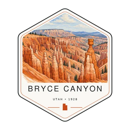
Log the visit, keep your story, and watch the map of all sixty-four fill in behind you. Every visit has a keepsake worth holding.
Keep driving west into the loneliest, starriest park in the Lower 48.
Open Park 04 → The collectionSee the full map and track every park you have visited.
View the map → PlanTurn Bryce Canyon into a road trip with a custom, day-by-day itinerary.
Start planning → Go deeperHoodoos still mid-collapse, a Paiute name the English one replaced, and a visitor count that depends on how you ask.
Read it →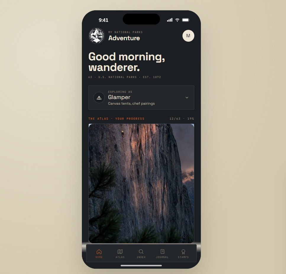
Offline maps, your passport, and every park in your pocket on the trail.
Join the waitlist →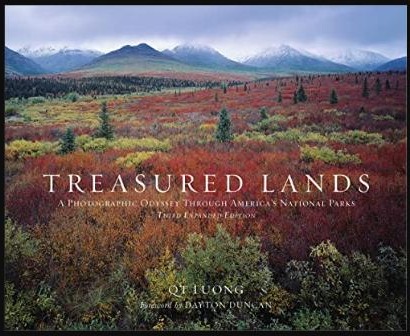
The printed edition, part atlas, part journal, one story per park.
Notify me →Park-guide posters, enamel stamps, and the passport book to fill in.
Visit the shop →Field Notes
The parks do not perform for anyone. They stood here before the road, and they will stand here after it.