
On a cool summer morning, or through most of the winter, it isn't unusual to see steam rising out of vents along the rim of Mount Wrangell's summit caldera. The mountain isn't erupting. It hasn't erupted in any serious way in generations. It just hasn't entirely stopped, either.
A Steam Plume on a Cold Morning
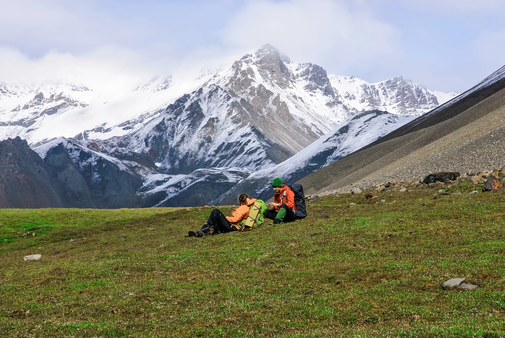
Mount Wrangell rises 14,163 feet above the park that shares its name, and it's still active enough that the National Park Service lists visible steam plumes at its summit caldera as a routine, expected sight, not a warning sign. Geologists have documented minor eruptive activity in 1784, 1884-85, 1900, 1914, and 1930, recent enough, in geological terms, that people alive today could plausibly have had parents who watched it happen. None of that activity has been catastrophic, and current science points to no imminent eruption. The mountain is simply still doing, in a small and steady way, what volcanoes do.
By volume, it's one of the largest active volcanoes anywhere on Earth, a genuine giant that happens to be patient rather than dormant.
Wrangell sits inside something larger than itself: a volcanic field covering more than 2,000 square miles, built up over roughly 5 million years of eruptions triggered by the slow-motion collision of the Pacific and North American tectonic plates. Volcanism in the region goes back even further, with evidence of activity as old as 26 million years. Mount Wrangell is simply the part of that much older story that's still, technically, in progress.
- Elevation 14,163 FT
- Status ACTIVE · NO IMMINENT ERUPTION RISK
- Recent minor activity 1784, 1884-85, 1900, 1914, 1930
- Volcanic field 2,000+ SQ MI · ~5 MILLION YEARS OLD
Build a Trip Through the Wrangell Mountains
Six named volcanic peaks are visible from a single stretch of the Nabesna Road.
Open the Trip PlannerA Skyline Full of Sleeping Giants
Look at the skyline from almost anywhere in the park and most of what's visible is volcanic in origin: Mount Sanford, Mount Drum, Mount Blackburn, Mount Churchill, Mount Jarvis, and Mount Regal all share the same violent tectonic parentage as Wrangell itself. Lieutenant Henry T. Allen named several of these peaks during his 1885 military expedition through the region, at a time when Mount Wrangell had erupted within the previous year. He was naming a landscape that, geologically speaking, was still actively forming itself around him.
The clearest evidence the ground here hasn't finished working is a pair of small mud volcanoes east of Glennallen, called Shrub and Upper Klawasi, low domes that still bubble and hiss with ongoing geothermal activity.
None of this amounts to a warning. Geologists watching Mount Wrangell see no sign of an eruption on the horizon. But the steam still rising from its summit on a cold morning is a genuine, visible reminder that this landscape isn't a finished monument. It's a process that started 26 million years ago, and on the right morning, you can still watch it breathing.
- Named peaks nearby SANFORD, DRUM, BLACKBURN, CHURCHILL, JARVIS, REGAL
- Named by LT. HENRY T. ALLEN'S 1885 EXPEDITION
- Mud volcanoes SHRUB & UPPER KLAWASI, EAST OF GLENNALLEN
- Earliest regional volcanism ~26 MILLION YEARS AGO
Mount Wrangell's elevation, activity status, eruption history, and volcanic field size checked against the National Park Service's official Volcanoes page for Wrangell-St. Elias and its Geology page. Named-peak and mud volcano details checked against the same NPS sources. The naming context around Lt. Henry T. Allen's 1885 expedition checked against NPS's official human history article for Wrangell-St. Elias.
There's no fenced overlook for this, no single spot marked on a map. The steam is just there, most mornings, if you know to look for it along the summit's caldera rim, a small ongoing fact about a mountain most visitors drive past on their way to somewhere else. Wrangell has been doing this, on and off, for longer than there's been anyone around to notice. It'll likely keep doing it long after everyone reading this is gone too.