
El Capitan is not a cliff so much as a cross-section. Stand at its base and you are standing at the foot of an eight-thousand-foot wall that was, at one time, underwater.
These Mountains Grew Sideways Before They Stood Up
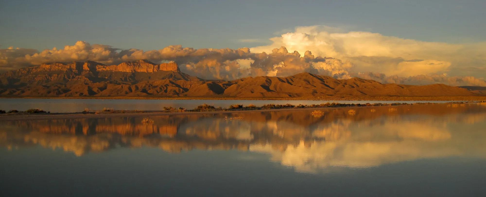
During the Middle Permian, somewhere between 270 and 260 million years ago, an inland sea covered more than 10,000 square miles of what would become western Texas and southeastern New Mexico, an expanse roughly the size of Ohio. At its edge, a reef grew, not the kind built by coral, which hadn't evolved this particular trick yet, but one built by calcareous sponges, bryozoans, tiny single-celled organisms called fusulinids, and algae, all of it cemented together by calcium carbonate precipitating straight out of the seawater. It grew slowly outward and upward for millions of years, adding itself layer on layer the way reefs still do today, until it stretched 350 miles along the edge of that ancient sea.
Then the sea dried up, and the reef got buried under its own evaporite deposits for a couple hundred million years. What eventually surfaced was not a beach. It was a mountain range. El Capitan and Guadalupe Peak are both pieces of that same reef, now tilted, exposed, and worn back by weather, the fossilized seaward face of the Capitan Reef standing in open desert air where an ocean used to be.
- Formed 270–260 MILLION YEARS AGO
- Ancient sea 10,000+ SQ MI · TX & NM
- Reef length 350 MILES ALONG THE BASIN EDGE
- Builders SPONGES, ALGAE, BRYOZOANS · NO CORAL
See the Reef Up Close
The Permian Reef Trail climbs straight through the fossil-bearing limestone this whole mountain range is built from.
Open the Trip PlannerA Fossil Record With More Than 500 Species in It
Researchers working the exposed rock here have catalogued more than 500 Permian fossil species, brachiopods, foraminifera, echinoderms, mollusks, corals, trilobites, and conodonts among them, all preserved in the same limestone that makes up the mountain walls. The best cross-section sits in McKittrick Canyon, where 2,000 vertical feet of the ancient reef structure is exposed in one continuous face, forereef talus at the bottom grading up into the reef itself, a geologic textbook you can walk straight through. The science here carries real institutional weight: this section of rock is formally recognized as the Global Boundary Stratotype Section and Point for the Middle Permian age, the reference point geologists worldwide use to define that slice of Earth's history.
None of it looks like a reef anymore, not in the way a person standing at the base of El Capitan would guess on sight. It looks like a mountain, because weather and time are patient sculptors, and 260 million years is enough time for almost anything to happen twice. But the shapes are still there if you know to look for them, the same fossilized sponges and algae that once filtered seawater at the edge of a Permian ocean, now catching afternoon light on a cliff face in the middle of the Chihuahuan Desert.
- Species catalogued 500+ · BRACHIOPODS, TRILOBITES & MORE
- Best exposure MCKITTRICK CANYON · 2,000 FT SECTION
- Scientific status GLOBAL REFERENCE POINT FOR MID-PERMIAN AGE
Reef age, ancient sea extent, reef length, reef-building organisms, fossil species count, and the Global Boundary Stratotype designation checked against the National Park Service's Geodiversity Atlas entry for Guadalupe Mountains National Park.
El Capitan looks like it was carved to be looked at, a sheer wall rising straight out of the desert floor with nothing around it to compete for attention. It wasn't carved for anything. It grew, the way a reef grows, one organism cementing itself to the last one, for longer than it's comfortable to actually picture. The desert around it now has nothing to do with where it came from. The ocean is the part that's gone.