Photo coming soon
Gunnison Point Trail
Easy
0.3 miflat~15 min
A short walk from the South Rim Visitor Center to one of the park's most accessible overlooks. No permit.
 National
Colorado · Park 47 / 64
The deepest narrow canyon in North America, cut through 1.8-billion-year-old rock, so tight some spots receive only 33 minutes of sunlight a day.
The Black Canyon earns its name honestly: some sections of this canyon receive only 33 minutes of direct sunlight a day, deep enough and narrow enough that light rarely reaches the bottom. The Gunnison River has been carving through 1.8-billion-year-old Precambrian gneiss and schist for two to three million years, cutting a gorge that at its narrowest is only 40 feet wide at the bottom while dropping more than 2,000 feet, making it the deepest canyon in North America relative to its width.
The Painted Wall, visible from a South Rim overlook, is Colorado's tallest cliff at roughly 2,300 feet, its streaked pattern the result of molten rock squeezed into fractures over a billion years ago and long since cooled and hardened. Unlike the Grand Canyon, there's no easy trail to the bottom here; reaching the river requires a genuinely difficult scramble down loose, unmaintained routes that the park service treats as a serious undertaking, not a casual hike.
Come for the sheer scale of the depth-to-width ratio. Stay long enough to understand why this park, despite being every bit as dramatic as its more famous cousins, remains one of the least crowded in the system. Read the story, trust the live data above for what is open today, and when you leave, mark it visited.

Black Canyon of the Gunnison might be even more stunning than Grand Canyon National Park, with something magical that makes it feel even more distinct.Adapted from visitor accounts comparing Black Canyon to the Grand Canyon
Six ways to spend your time, from an easy rim overlook to a genuinely serious scramble to the canyon floor.
Colorado's tallest cliff, roughly 2,300 feet, its streaked pattern formed by molten rock squeezed into fractures over a billion years ago.
The signature viewA paved road along the canyon rim with a dozen overlooks, each requiring only a short walk from the parking area.
The signature driveOne of the most accessible viewpoints in the park, right next to the South Rim Visitor Center.
Everyone · 10 minA short, scenic trail at the end of the South Rim Road with views of the canyon and the San Juan Mountains beyond.
Everyone · 1 hrSteep, unmaintained inner-canyon routes reach the Gunnison River, a genuinely difficult undertaking requiring a permit.
Experienced only · permit requiredA quieter, unpaved alternative to the South Rim with its own set of overlooks, closed seasonally in winter.
Half day · unpaved roadAnswer a few questions right here. We'll map your day, stop by stop, with a route, timings, weather, and a packing checklist grounded in real park data. No account, no leaving this page.
⚡ In a hurry? Adventure Light 5 questions →Every trail rated honestly, with distance, climb, and a clear warning about the difference between rim trails and inner-canyon routes.
A short walk from the South Rim Visitor Center to one of the park's most accessible overlooks. No permit.
A short walk to the overlook for Colorado's tallest cliff. No permit.
A scenic trail at the end of South Rim Road with numbered interpretive markers and canyon views throughout. No permit.
A rim-edge trail connecting the visitor center to the campground, with several canyon views along the way. No permit.
A longer North Rim trail to Green Mountain and Exclamation Point, quieter than the South Rim's overlooks. No permit.
Steep, unmaintained scrambles to the canyon floor requiring a free wilderness permit and genuine off-trail scrambling ability.
No permit for rim trails · free wilderness permits required for any inner-canyon route to the river · North Rim Road is unpaved and closes seasonally
Tap any animal to learn its story. Soon, the app will let you log what you spot and keep a life list for every park.
Common along the canyon rim, especially visible in the piñon-juniper woodland near the campgrounds.
Nests on the sheer canyon walls, occasionally visible diving at high speed over the gorge.
Present in the forested areas along the rim, generally shy and most active in early morning and evening.
Found in the Gunnison River at the canyon bottom, a serious undertaking to reach given the difficulty of the descent.
Its cascading, descending call is one of the most recognizable sounds along the canyon rim, though the bird itself is often hard to spot.
Present throughout the canyon area, rarely encountered by day visitors.
Common along the park's rim trails, easily seen darting between rocks near overlooks.
Common in the piñon-juniper woodland along the canyon rim, tolerant of the region's dry, rocky soil.
Shares the rim woodland with juniper, its nuts historically an important food source for Indigenous peoples of the region.
Common along the rim, producing white spring blossoms and edible berries later in summer.
Found in the drier, rockier sections along the rim, blooming yellow in early summer.
Survives in the canyon's cooler, shaded inner slopes, a relic pocket sheltered from the surrounding high desert climate.
Adds red color to the rim trails each late spring and early summer.
Some sections of the canyon receive only 33 minutes of direct sunlight a day, among the darkest canyon floors in North America.
The Gunnison River has been carving through 1.8-billion-year-old Precambrian rock for two to three million years.
The Painted Wall, at roughly 2,300 feet, is the tallest cliff in the state of Colorado.
Unlike the Grand Canyon, there is no maintained trail to the canyon floor here; reaching the river requires a genuinely difficult, permitted scramble.
The questions people actually ask, answered from the park’s own current guidance. Fees and permit rules change every year, so each answer links back to the National Park Service page it came from.
A standard 7-day pass costs $30 for a private vehicle, $25 for a motorcycle, or $15 per person if you're on foot or bike, and kids under 16 get in free. If you visit often, the park's own annual pass runs $55, or you can get an America the Beautiful pass starting at $80 that covers this park plus most other federal sites. The entrance station and campgrounds only take debit or credit cards, so bring plastic, not cash. Source: NPS.gov
Yes. The inner canyon is designated wilderness, so any route down from the rim requires a permit. On the North Rim they're free and handed out first-come, first-served the day of your hike. On the South Rim during peak season, May 1 through October 31, you need to reserve through Recreation.gov, with booking windows opening April 1 for May-July trips and July 1 for August-October trips; outside that window, permits are available same-day at the visitor center. Source: NPS.gov
The South Rim itself stays open year-round, but South Rim Road is usually only drivable in full from late April to mid-November. Once snow sets in, cars can only reach Gunnison Point near the visitor center, though the rest of the road stays open to cross-country skiers and snowshoers when conditions allow. The North Rim Road and ranger station close entirely for winter, typically mid-November through May. Source: NPS.gov
Yes, it's been designated an International Dark Sky Park since September 2015. The best overlooks for stargazing are Chasm View, Dragon Point, and Sunset View on the South Rim, and Chasm View Nature Trail or Kneeling Camel Overlook on the North Rim, especially near a new moon. The park runs free astronomy programs with telescopes and hosts a multi-day Astronomy Festival each year. Source: NPS.gov
Stories, guides, and hard-won tips from the trail. The full Black Canyon deep dive lives on the blog.
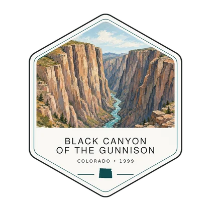
Log the visit, keep your story, and watch the map of all sixty-four fill in behind you. Every visit has a keepsake worth holding.
See the full map and track every park you have visited.
View the map → PlanTurn Black Canyon into a trip with a custom, day-by-day itinerary.
Start planning → Go deeperBlack Canyon isn't as deep as the Grand Canyon, but the river inside it drops nearly six times faster.
Read it → Explore moreFind your next park anywhere in the country.
Browse parks →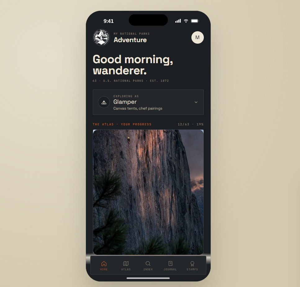
Offline maps, your passport, and every park in your pocket on the trail.
Join the waitlist →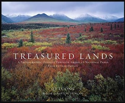
The printed edition, part atlas, part journal, one story per park.
Notify me →Park-guide posters, enamel stamps, and the passport book to fill in.
Visit the shop →Field Notes
The parks do not perform for anyone. They stood here before the road, and they will stand here after it.