Horseshoe Lake Trail
Easy
1.5 mi-250 ft~1.5 hr
A loop down to a horseshoe-shaped former river channel, good beaver habitat and an easy first walk near the entrance. No permit.
 National
Alaska · Park 33 / 64
The tallest peak in North America, and in 2026 only the first 43 of the road's 92 miles are open to reach it.
Denali rises 20,310 feet above sea level, the tallest peak in North America, with a base-to-summit rise greater than Everest's from its own base, since Everest starts from a much higher plateau. On a clear day it's visible from over a hundred miles away, and on most days it isn't visible at all, hidden in its own weather; roughly a quarter of visitors ever see the summit during their visit.
Since August 2021, the single 92-mile Park Road has been closed at Mile 43 by the Pretty Rocks landslide, a slow-moving permafrost slump that accelerated too fast for road crews to keep patching. A new bridge is under construction to span it, with the National Park Service now targeting a partial 2026 opening and warning that full service to Eielson Visitor Center, Wonder Lake, and the Kantishna lodges likely won't return until 2027. For 2026, plan your visit entirely around the accessible first 43 miles.
Come for the mountain, if the weather gives it to you. Stay for the fact that even the accessible third of this six-million-acre park is more wilderness than most visitors will see in a lifetime. Read the story, check the live data above for the current road status, and when you leave, mark it visited.

The mountain has no beginning or end, visible or invisible, and so it draws you back regardless of what the weather allows you to see.Adapted from mountaineering accounts of climbing and viewing Denali
Six ways to spend your time within the accessible first 43 miles, planned around the 2026 road closure rather than against it.
Non-narrated buses run to the East Fork turnaround, the current end of accessible road, past tundra and frequent wildlife.
The signature ride · book aheadPrivate vehicles can drive this stretch year-round without a bus ticket, the best free-access section of the park in 2026.
Casual · no ticket neededA moderate ridge hike with sweeping Alaska Range views, connecting the Savage River area to Mountain Vista.
Half day · confident hikersA free ranger-led program near the visitor center on the park's working sled dog kennel, included with entry.
Families · freeAn easy loop near the entrance to a horseshoe-shaped lake and beaver habitat, a good first walk after arriving.
Everyone · 1.5 hrFilms and displays on the mountain, the park's history, and current conditions, essential before deciding how to spend a limited-access visit.
Everyone · 1 hrAnswer a few questions right here. We'll map your day, stop by stop, with a route, timings, weather, and a packing checklist grounded in real park data. No account, no leaving this page.
⚡ In a hurry? Adventure Light 5 questions →Every trail rated honestly, with distance, climb, and a clear note on what's actually reachable given the 2026 road closure.
A loop down to a horseshoe-shaped former river channel, good beaver habitat and an easy first walk near the entrance. No permit.
A flat loop at Mile 13 with one of the most reliable roadside views of Denali itself, weather permitting. No permit.
A loop along the Savage River at Mile 15, the current end of the road for private vehicles, with tundra and mountain views. No permit.
A ridge climb connecting Mountain Vista to the Savage River area with sweeping Alaska Range views. No permit.
A longer forest and lake loop near the entrance area, one of the few marked trails of this length still fully accessible in 2026. No permit.
Trackless tundra travel into one of 87 backcountry units. A bear-resistant food container and a free permit from the Backcountry Information Center are required.
No permit for day hikes on marked trails · free backcountry permits and mandatory bear canisters for overnight wilderness camping · units beyond Mile 43 remain technically open but require far more effort to reach in 2026
Tap any animal to learn its story. Soon, the app will let you log what you spot and keep a life list for every park.
One of the most reliably visible large mammals from the park road, with a healthy population habituated to the presence of buses at a distance.
Common in the wetter, brushier terrain near the entrance area, including around Horseshoe Lake.
Moves across the open tundra in loose herds, part of the same ecosystem that has supported Indigenous subsistence hunting for millennia.
Works the steep, rocky terrain along the park road corridor, often visible with binoculars from turnouts.
Ranges across enormous territories within the park, rarely seen but an iconic presence in one of the few ecosystems where wolf populations remain largely unmanaged by hunting pressure.
Hunts the open tundra for ground squirrels and other small mammals, occasionally visible riding thermals along the ridgelines.
Drops its body temperature below freezing during hibernation, one of the most extreme cold-tolerance adaptations known in mammals.
Adds purple color to the tundra each short summer, one of hundreds of flowering plant species adapted to Denali's brief growing season.
Forms low mats across the tundra, turning brilliant red each autumn in one of the park's most photographed seasonal changes.
Forms the boreal forest, or taiga, in the park's lower elevations, giving way to open tundra as elevation increases.
Covers disturbed ground and roadsides in bright pink-purple spikes each August, one of Alaska's most recognizable wildflowers.
Grows low and wind-flagged across the tundra, part of the shrub layer that supports much of the park's small mammal population.
Insulates the ground in wetter areas, helping maintain the permafrost that underlies much of the park's landscape.
Denali's summit sits at 20,310 feet, the tallest peak in North America, with one of the greatest base-to-summit rises of any mountain on Earth.
The Denali Park Road has been closed at Mile 43 of 92 since August 2021 due to the Pretty Rocks landslide, a slow permafrost-driven slump.
A new bridge spanning the landslide is targeted for partial opening in 2026, with full bus service to Eielson and Wonder Lake not expected until 2027.
The park spans over 6 million acres, larger than the state of New Hampshire, almost all of it accessible only on foot from the road corridor.
The questions people actually ask, answered from the park’s own current guidance. Fees and permit rules change every year, so each answer links back to the National Park Service page it came from.
Denali charges a per-person entrance fee rather than a per-vehicle one: $15 for anyone 16 or older, good for 7 days, with kids under 16 free. An annual Denali pass is $45 and covers up to four adults. Note that the park doesn't accept cash, so bring a card. Source: NPS.gov
You can't take a private vehicle past Savage River at mile 15, so beyond that point you're on a bus, bike, or on foot. Bus and campground reservations go through the park's concessioner at reservedenali.com, and while short-notice seats sometimes turn up, reservations are the standard way to guarantee a spot, especially if you're only in the area for a day or two. Source: NPS.gov
No. The road remains closed at mile 43 because of the Pretty Rocks landslide, so both transit and tour buses currently turn around at the East Fork Bridge. That means Eielson Visitor Center and Wonder Lake Campground, both further down the road, are inaccessible for now while a bridge is built across the slide area as part of the Polychrome Area Plan. Source: NPS.gov
Stories, guides, and hard-won tips from the trail. The full Denali deep dive lives on the blog.
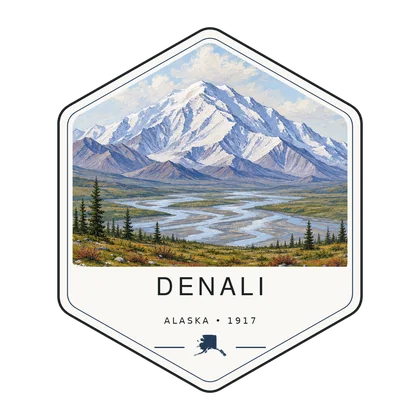
Log the visit, keep your story, and watch the map of all sixty-four fill in behind you. Every visit has a keepsake worth holding.
See the full map and track every park you have visited.
View the map → PlanTurn Denali into a trip with a custom, day-by-day itinerary.
Start planning → Go deeperDenali still patrols its wilderness by dog sled, the same way it did in 1922. No other park in the system keeps a working kennel.
Read it → Explore moreFind your next park anywhere in the country.
Browse parks →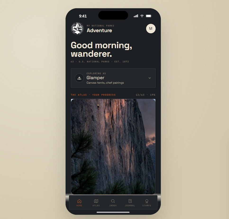
Offline maps, your passport, and every park in your pocket on the trail.
Join the waitlist →
The printed edition, part atlas, part journal, one story per park.
Notify me →Park-guide posters, enamel stamps, and the passport book to fill in.
Visit the shop →Field Notes
The parks do not perform for anyone. They stood here before the road, and they will stand here after it.