
Eight men, one canoe, twenty-six feet of birch bark loaded with up to 3,000 pounds of fur and cargo. They paddled up to sixteen hours a day. This is the water they paddled through.
The Job That Gave the Park Its Name
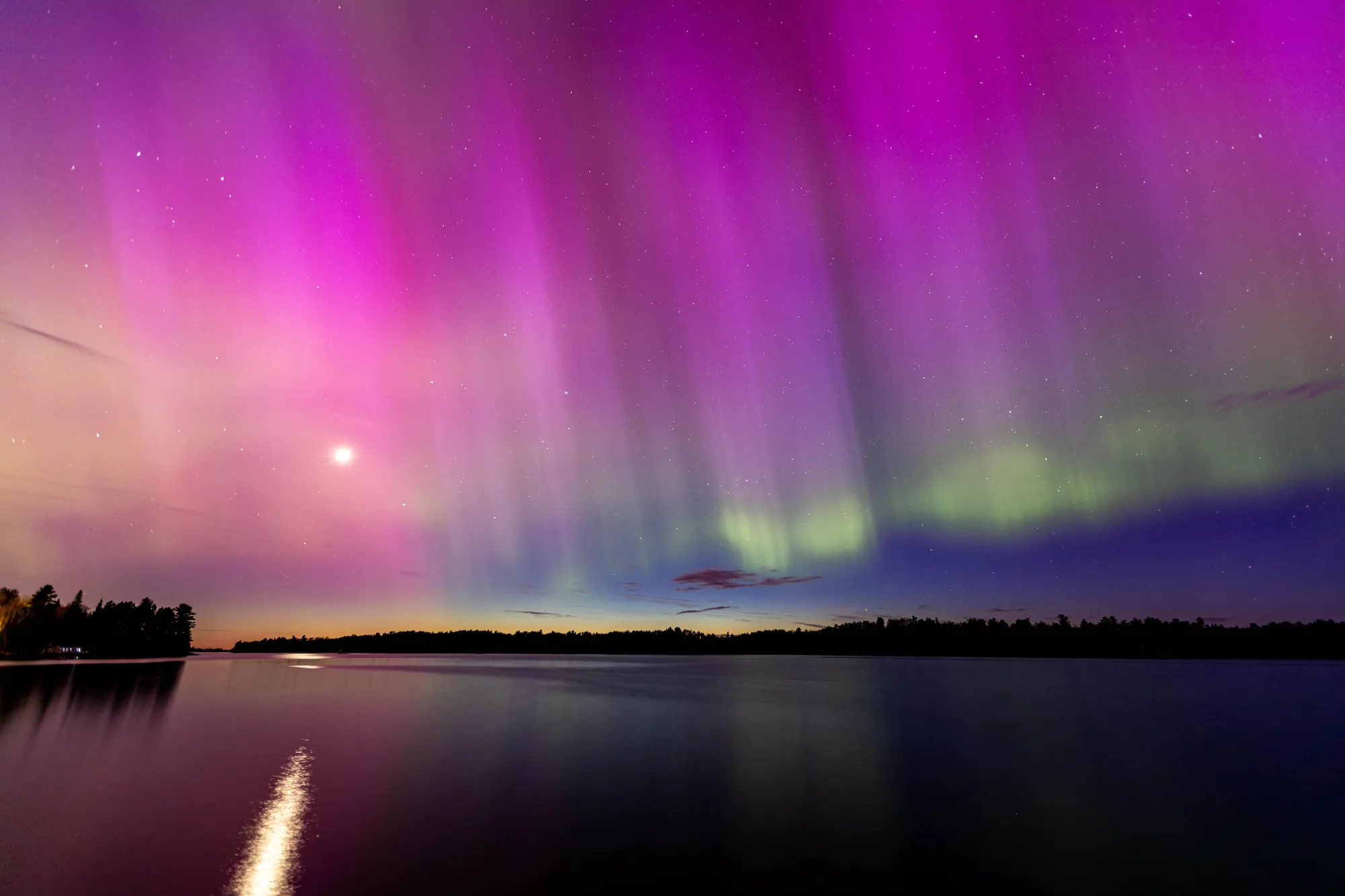
Voyageurs National Park is named for the voyageurs, French-Canadian canoemen who spent more than a hundred years hauling beaver pelts and trade goods between Montreal and the Canadian Northwest, moving cargo the only way anyone could move it through this country: by water. Their standard vehicle was the North Canoe, a birch bark craft 26 feet long and 4 to 5 feet wide, light enough for its eight-man crew to portage over land between lakes and sturdy enough to carry them and their cargo, 2,000 to 3,000 pounds loaded, across open water. Period accounts describe the men themselves as adventurous, optimistic, and nearly indestructible, paddling up to 16 hours in a single day when the season demanded it.
The park protects 56 miles of that historic route today, spread across nearly 84,000 acres that include four major lakes and 26 smaller interior ones near International Falls. Paddle any stretch of it now and the water looks the same as it did to the men who worked it two and a half centuries ago, quiet, cold, and enormous, the kind of landscape that makes a 3,000-pound canoe look small.
- Length & width 26 FT · 4–5 FT WIDE
- Crew 8 MEN
- Loaded weight 2,000–3,000 LBS
- Protected route today 56 MI · ~84,000 ACRES
Paddle the Historic Route
Rainy Lake and Kabetogama still carry canoes and boats along water the voyageurs once worked for a living.
Open the Trip PlannerA Fashion Trend Ended a Century of Trade
The voyageurs weren't just moving cargo, they were tracing a boundary before anyone had formally drawn one. By the time the American Revolution ended, their customary route between Lake Superior and Lake of the Woods was well enough established that it became the basis for the international boundary between the United States and Canada, the same line that today puts half of Voyageurs' lakes within sight of a foreign country. Along the way, the voyageurs traded extensively with the Ojibwe and other Indigenous nations, whose knowledge of the waterways, and whose furs, made the entire enterprise possible in the first place.
Then the market that had sustained all of it simply stopped needing it. Around 1840, European fashion shifted from beaver felt hats to silk ones, and the demand that had pulled canoes across this water for generations dried up within a few years. The voyageurs themselves scattered into other work. What they left behind was a route, a name, and eventually a park, 56 miles of water that once moved a continent's worth of fur and now moves people who come here mostly to be somewhere quiet.
- Route became border BY END OF AMERICAN REVOLUTION
- Primary trading partner OJIBWE NATION
- Fur trade ended ~1840 · SILK REPLACED BEAVER FELT
- Park established 1975
Voyageur history, North Canoe specifications, crew size, protected route mileage and acreage, the boundary connection, Ojibwe trade partnership, and the fur trade's decline around 1840 checked against the National Park Service's official history page for Voyageurs National Park. Park establishment year checked against the park's own history and culture pages.
Stand on the shore of Rainy Lake today and it's easy to miss what the water used to carry. No canoes loaded to 3,000 pounds, no eight-man crews racing daylight, no fortune in beaver pelts headed for a hat that hasn't been fashionable in almost two centuries. Just water, and a name borrowed from the men who worked it, and a border that still runs more or less where their canoes once did.