
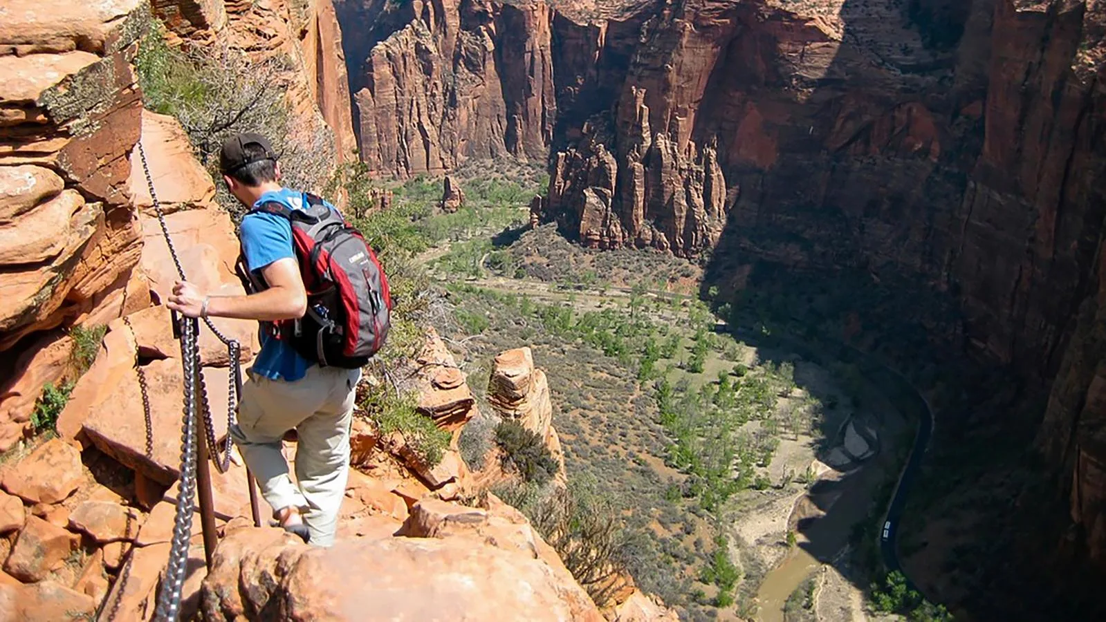
Twenty-one switchbacks are carved into a cliff face in Zion, built in 1926 for one reason: there was no other way to get hikers up to the chains. Walter's Wiggles is the on-ramp to Angels Landing, not the hard part, and it tells you something about every trail on this list. None of these are simply the longest or the highest routes in the park system. They're the ones that ask something of you (elevation, exposure, wet feet, a scramble through stone) before they hand over the view.
The parks holding these trails span a continent's worth of rock: the sandstone of southern Utah, the granite of the Sierra Nevada and coastal Maine, the glacial cirques of Montana, the ancient, worn-down peaks of the Smokies. Different geology, same deal everywhere. The ground didn't make it easy, so somebody built a trail up it anyway.
Angels Landing, Zion National Park
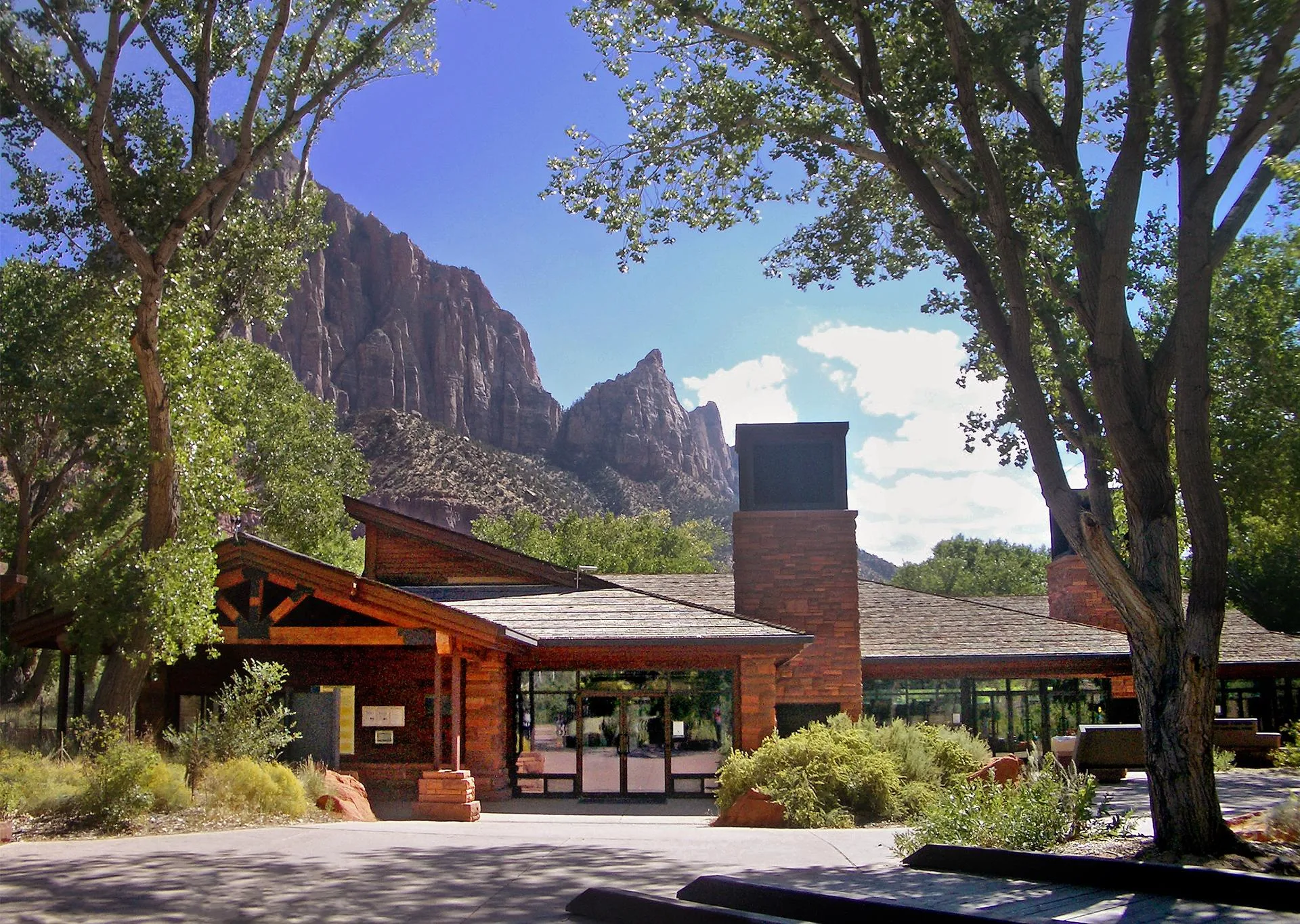
- Approach WALTER'S WIGGLES · 21 SWITCHBACKS · BUILT 1926
- The Climb ~1 MI CHAIN-ASSISTED SCRAMBLE · RIDGE, DROP-OFFS BOTH SIDES
- Summit 1,488 FT · CANYON OVERLOOK
Walter's Wiggles gets you to the real climb: about a mile of chain-assisted scrambling along a ridge with drop-offs on both sides, ending at a 1,488-foot summit overlooking the canyon.
Half Dome, Yosemite National Park
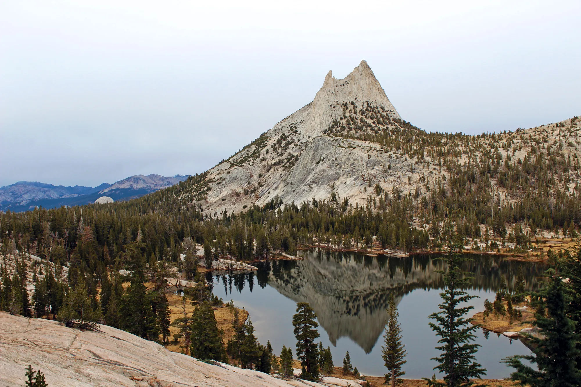
- The Climb HAND-OVER-HAND ON CABLES BOLTED INTO THE GRANITE
- Exposure CABLES ARE THE ONLY THING BETWEEN YOU AND THE DROP
- Summit FULL PANORAMA OF YOSEMITE'S WILDERNESS
Half Dome doesn't ease you into it. The final ascent up the granite face is a hand-over-hand climb, cables bolted into the rock the only thing between you and the drop, and a full panorama of Yosemite's wilderness waiting at the top.
The Narrows, Zion National Park
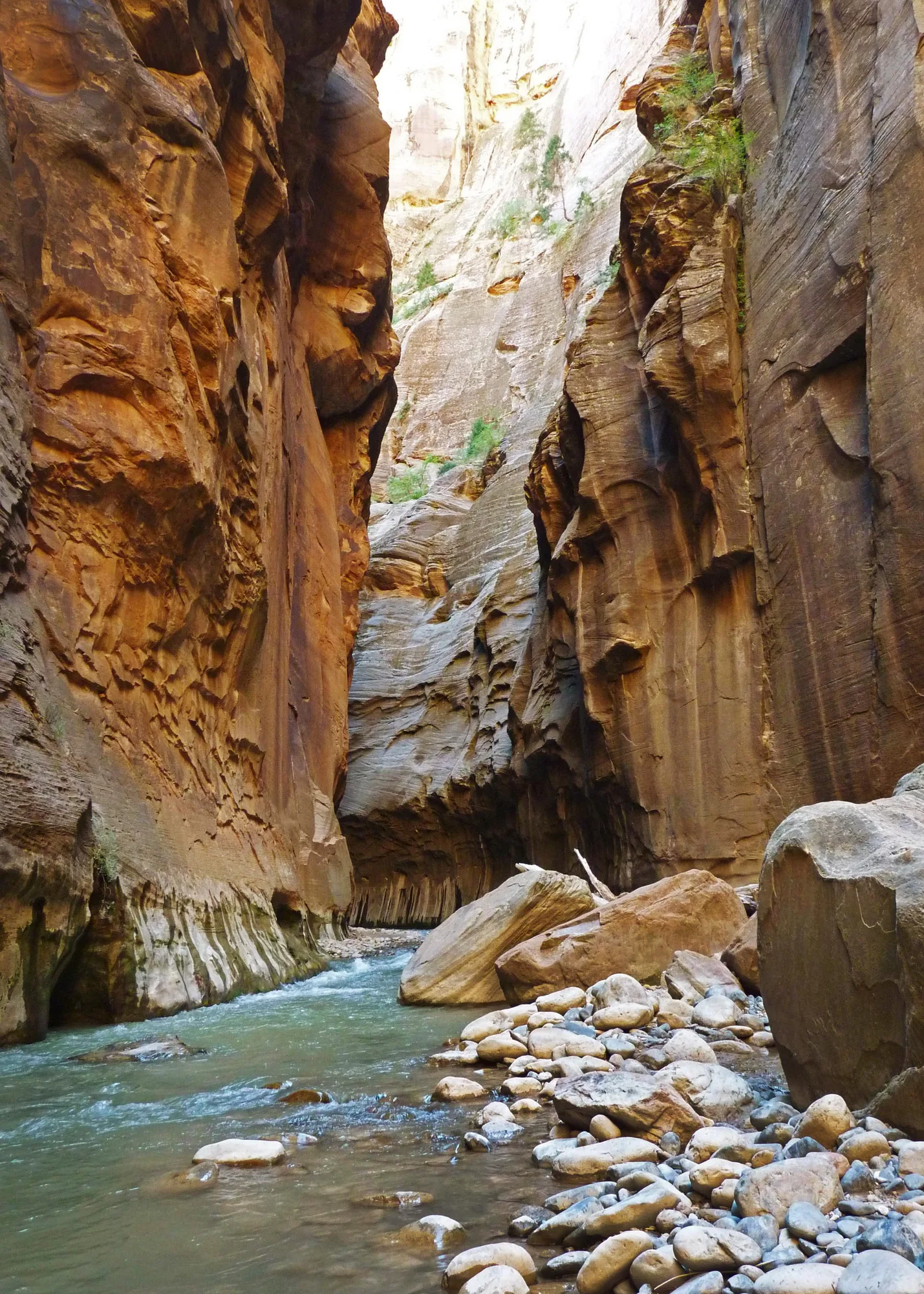
- Route NO TRAIL · WADE THE VIRGIN RIVER THE WHOLE WAY
- Canyon Walls RISE A THOUSAND FEET OVERHEAD
- Narrowest Stretches CLOSE TO WITHIN A FEW FEET OF EACH OTHER
There's no trail here, just the Virgin River: you wade the whole way, canyon walls rising a thousand feet overhead and closing, in the narrowest stretches, to within a few feet of each other.
Turn This List Into a Real Plan
Pick your park, your dates, and your crew: the AI trip planner builds the day-by-day, with real drive times and the trailheads that matter.
Open the Trip PlannerHighline Trail, Glacier National Park
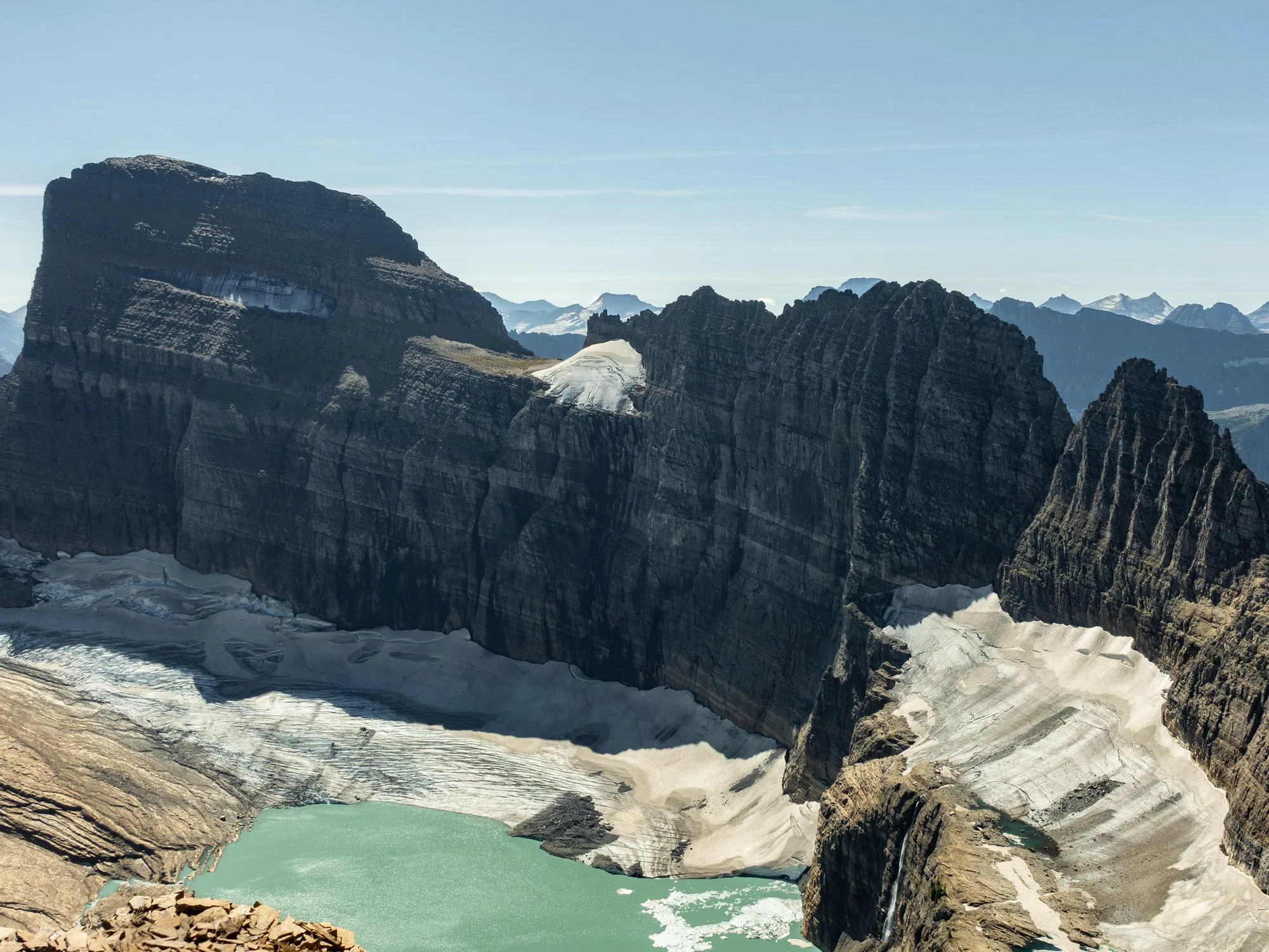
- Route RUNS ALONG THE CONTINENTAL DIVIDE
- Exposure CLOSE ENOUGH TO THE EDGE THAT IT'S PART OF THE DRAW
- Wildlife BIGHORN SHEEP & MOUNTAIN GOATS, OFTEN SEEN
The Highline runs along the Continental Divide, close enough to the edge that the exposure is part of the draw. Bighorn sheep and mountain goats work these slopes often enough that seeing one is more good timing than luck.
Delicate Arch, Arches National Park
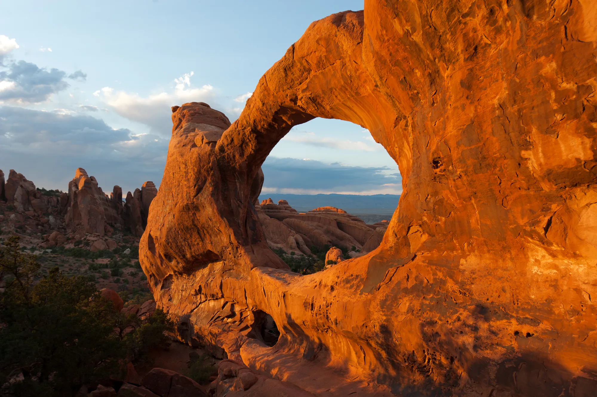
- Route MODERATE CLIMB ACROSS SLICKROCK
- Backdrop FRAMED AGAINST THE DISTANT LA SAL MOUNTAINS
- Reputation UTAH'S MOST PHOTOGRAPHED FORMATION
A moderate climb across slickrock ends at Utah's most photographed formation, the arch framed against the distant La Sal Mountains with nothing else in the way.
Bright Angel Trail, Grand Canyon National Park
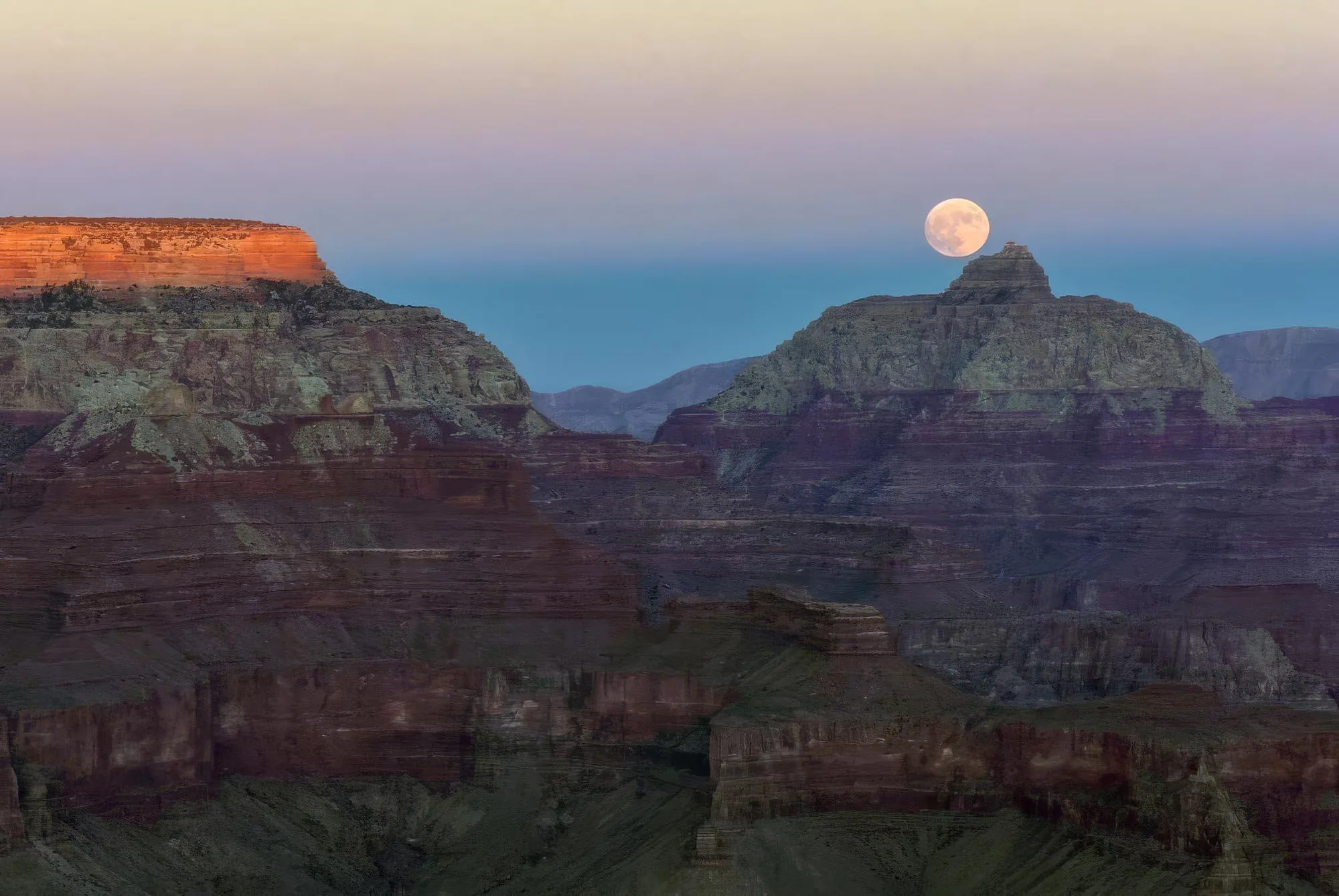
- Route SWITCHBACKS DOWN INTO THE CANYON IN STAGES
- Rest Houses SPACED ALONG THE WAY FOR WATER & SHADE
- The Walls READ DIFFERENTLY A FEW THOUSAND FEET DOWN
Bright Angel switches back down into the canyon in stages, rest houses spaced along the way for water and shade. The walls read differently a few thousand feet down than they do from the rim.
The Appalachian Trail, Great Smoky Mountains National Park
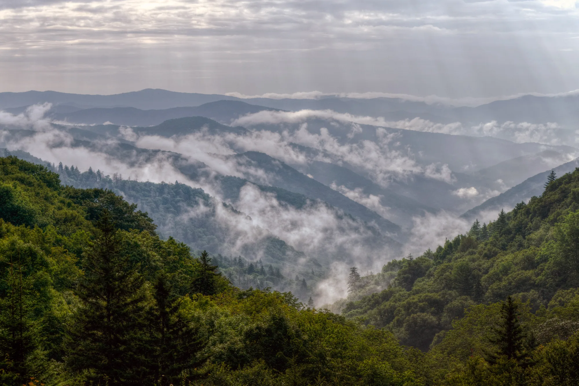
- Through the Park 71 MILES OF THE AT CROSS THE SMOKIES
- Terrain DENSE FOREST, WATERFALLS, MOUNTAIN VIEWS WHERE TREES BREAK
- Scale A FRACTION OF THE AT'S FULL LENGTH
Seventy-one miles of the Appalachian Trail cross the park: dense forest, waterfalls, mountain views wherever the trees break. A fraction of the AT's full length, and still enough to get a real feel for it.
Track The Parks You Visit
A free account tracks every park you visit, keeps the trip journal, and saves every plan you build.
Create a Free Account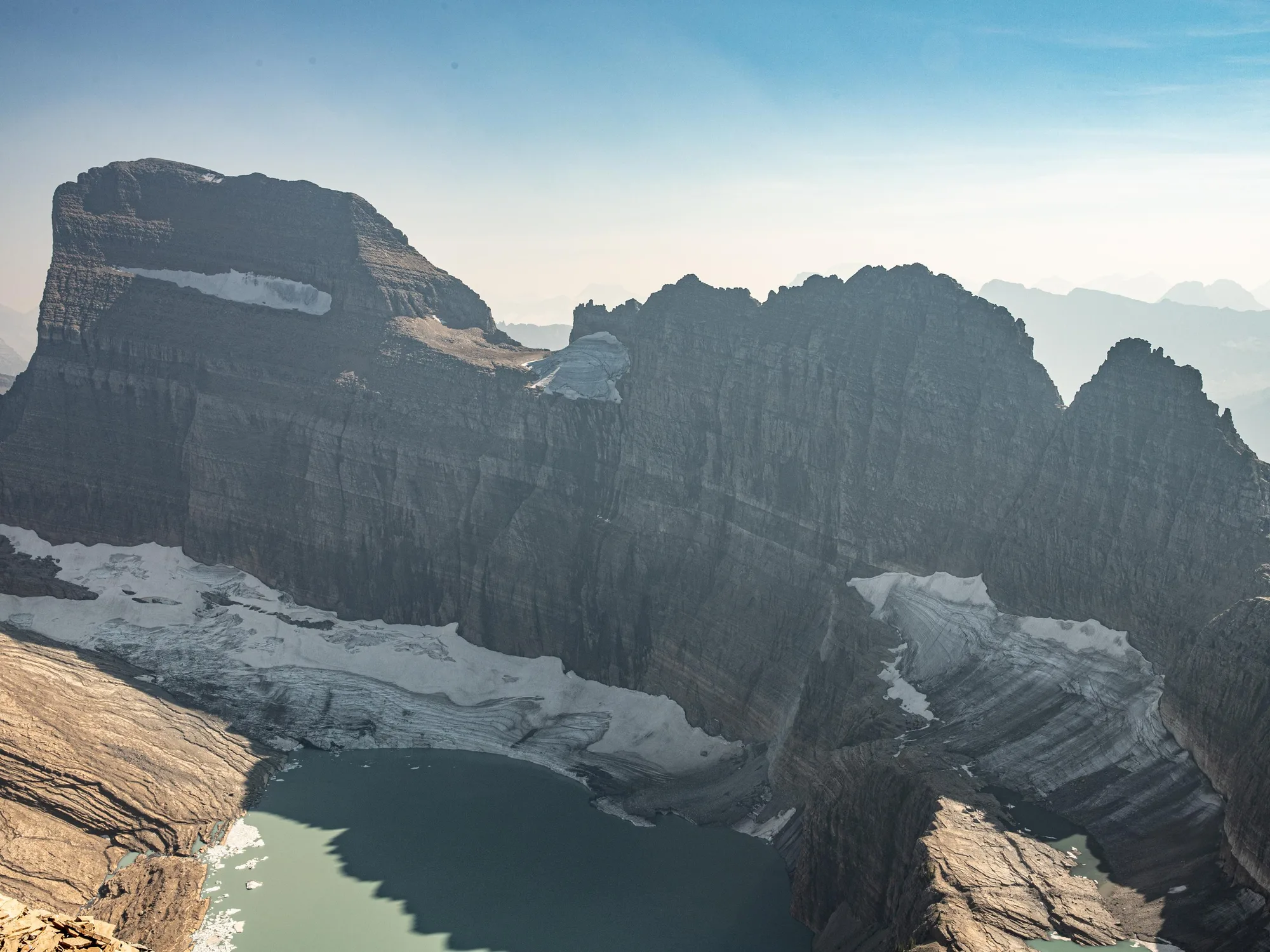
The Subway, Zion National Park
- Route LEFT FORK OF NORTH CREEK · SWIMMING, WADING, SCRAMBLING
- Terrain NARROW STONE PASSAGES, POOLS & CASCADES
- The Walls SMOOTH ENOUGH TO LOOK SCULPTED
Less a hike than a scramble: swimming, wading, and working through narrow stone passages along the Left Fork of North Creek, past pools and cascades cut into walls smooth enough to look sculpted.
Precipice Trail, Acadia National Park
- Route IRON RUNGS & LADDERS ON THE CLIFFS OF CHAMPLAIN MOUNTAIN
- No Switchbacks NOTHING TO SOFTEN THE CLIMB
- The View THE ATLANTIC & THE COASTLINE OF MOUNT DESERT ISLAND
Iron rungs and ladders are bolted into the cliffs of Champlain Mountain because there are no switchbacks to soften the climb. What's waiting at the top: the Atlantic and the coastline of Mount Desert Island, laid out from a height that makes the argument for itself.
What Ties All Ten Together
That's the throughline running under all ten: difficulty traded for something you can't get from a pullout. Before you go, check current conditions and permit requirements for whichever trail you're headed to. Several of these change seasonally, and a couple require a lottery or a reservation, including the very first trail on this list: Zion has required a permit lottery for Angels Landing since 2022, twenty-one switchbacks and all. And once you're out there, the usual rule still applies: leave the ground the way you found it.
Trail facts, distances, and elevations checked against NPS.gov park pages for Zion, Yosemite, Glacier, Arches, Grand Canyon, Great Smoky Mountains, and Acadia, plus the Appalachian Trail Conservancy for the AT's mileage through the Smokies.