
You can drive higher in Rocky Mountain National Park than most people will climb in their entire lives, and never leave your seat. Trail Ridge Road crests at 12,183 feet, the highest continuous paved road in the United States, eleven miles of it running above treeline where the trees simply stop trying. A few miles south, on Longs Peak, fifty nine people have died trying to reach roughly that same elevation on foot.
That gap, between what a car hands you for free and what a mountain still makes you earn, is the whole shape of this park. The rock underneath both is some of the oldest exposed anywhere in the Rockies. What is built on top of it is much newer, and the thing that actually carved it into today's shape finished its work only a geologic instant ago.
The Highest Paved Road in the Country
Trail Ridge Road tops out at 12,183 feet, the highest continuous paved road in the United States, and eleven of its miles run above treeline through open alpine tundra. Crews built the first stretch, to Fall River Pass, between 1929 and 1932, then pushed the road on to Grand Lake by 1938, following a route that Ute and Arapaho travelers had used on foot long before any of it was paved.
It is a seasonal road, open only in summer, because winter here does not politely wait its turn. Snow closes sections of it as early as October and it typically does not fully reopen until Memorial Day, sometimes later. For the few months it runs, it hands a car full of people the same elevation a determined hiker spends a full day earning on foot.
- Highest point 12,183 FT
- Miles above treeline 11
- Built 1929–1938
Rock Older Than Almost Anything You Will Ever Stand On
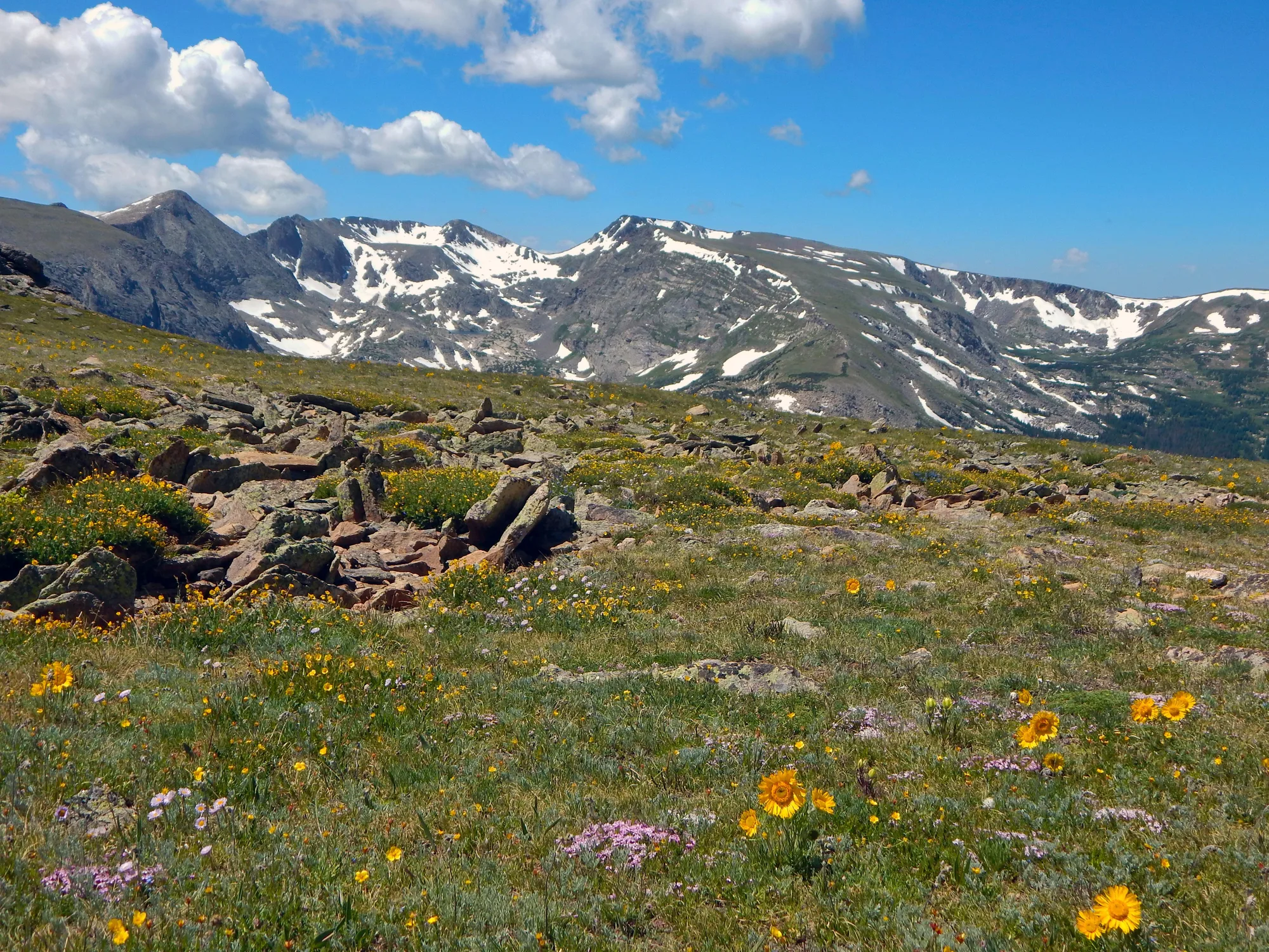
Rock Cut sits at 12,110 feet, close enough to the road's own high point that you can feel the elevation in your ears. Temperatures here stay below freezing nearly all winter, and wind speeds can exceed 150 miles an hour. A short paved trail crosses real alpine tundra, ground so fragile that a research plot has been quietly monitoring it since 1958, and more than a hundred species of flowering plant still find a way to bloom in it anyway.
The ground under that tundra is older than the tundra could ever explain. Some of the exposed rock at Rocky Mountain formed about 1.7 billion years ago, and the granite of the Boulder Creek Batholith intruded into it roughly 1.6 billion years ago, both long before there was a Rocky Mountains to speak of. The uplift that actually built these peaks did not start until about 75 million years ago, in an episode called the Laramide orogeny. Even that, on rock this old, counts as recent.
The Valley the Ice Left Behind, Twelve Thousand Years Ago
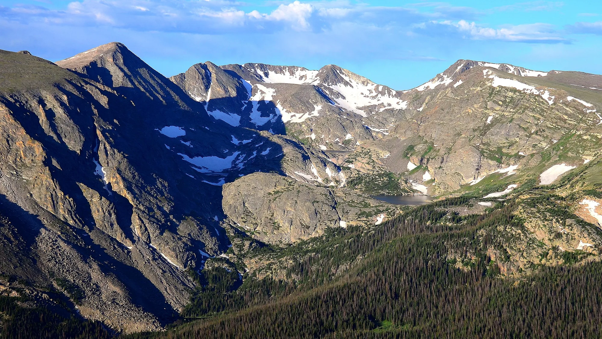
A half-mile paved loop is all it takes to see the park's most photographed lake, Hallett Peak mirrored on the water on a calm morning. What is easy to miss standing on flat pavement is that the bowl holding the lake is itself the point: two separate glaciations, one ending roughly 127,000 years ago and a more recent one that held on until somewhere between 30,000 and 12,000 years ago, ground this valley into its wide, U-shaped profile and left piles of rubble, moraines, marking exactly where the ice finally gave up.
Compared to the rock at Rock Cut, a hundred yards of elevation up the road, this valley is barely finished. Twelve thousand years is nothing against 1.7 billion. It just happens to be exactly enough time to make a lake.
Turn This Route Into a Real Plan
Pick your dates and your crew: the AI trip planner builds the day-by-day for Rocky Mountain, timed-entry windows and drive times included.
Open the Trip PlannerThe Naturalist Who Would Not Stop Talking About It
Enos Mills arrived in Estes Park as a fourteen year old in 1884 and never really left. By 1909 he was pitching the idea of an "Estes National Park" in essays for national magazines and on a speaking tour that took the case directly to audiences across the country. It worked. On January 26, 1915, Woodrow Wilson signed the bill creating Rocky Mountain National Park, and a formal dedication followed that September in Horseshoe Park.
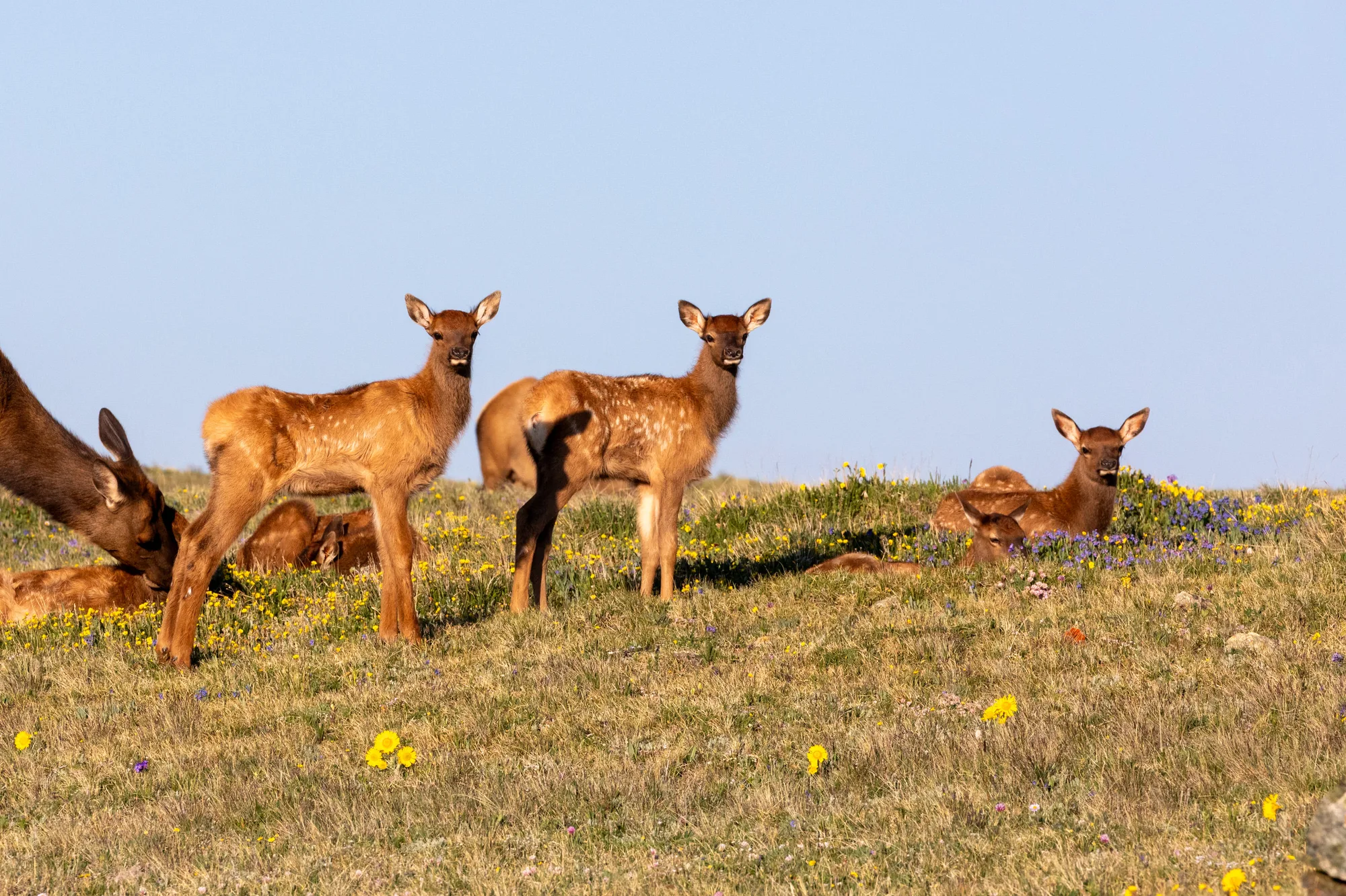
The timing mattered for more than the park boundary. In the same years Mills was making his case, elk in this stretch of Colorado had been hunted down to almost nothing, and in 1913 and 1914, right before the park existed on paper, forty nine elk were trapped in Yellowstone and released here to rebuild a population that had all but disappeared. The park and its most visible animal were rescued by two completely separate efforts that happened to land in the same three years.
- 1909 MILLS BEGINS CAMPAIGNING FOR A PARK
- 1913–1914 49 ELK TRANSPLANTED FROM YELLOWSTONE
- 1915 WILSON SIGNS THE PARK INTO EXISTENCE
From Nearly Gone to a Population Problem
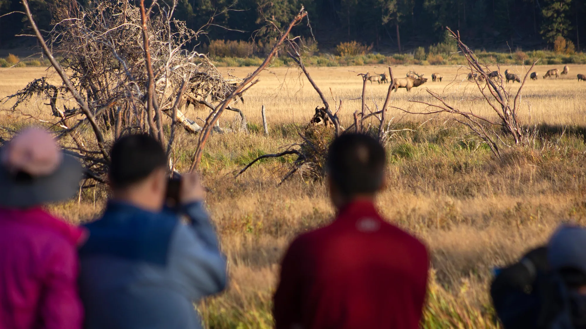
The rescue worked almost too well. With predators mostly gone from the area too, the transplanted elk multiplied for decades until, by the late 1990s, their numbers in the park's low meadows had become a real management problem rather than a conservation win. Today the park manages toward roughly six hundred to eight hundred elk wintering in places like Moraine Park and Horseshoe Park, the same meadows Mills once wanted protected for entirely different reasons.
Every autumn, bulls come down from the high country and the meadows fill with a sound the word "rut" is named for, Latin for roar. Keep the actual rule simple: seventy five feet, about two bus lengths, minimum. Hold your arm out, thumb up, close one eye. If the elk is still visible past your thumb, you are still too close.
The Elevation the Road Does Not Give You
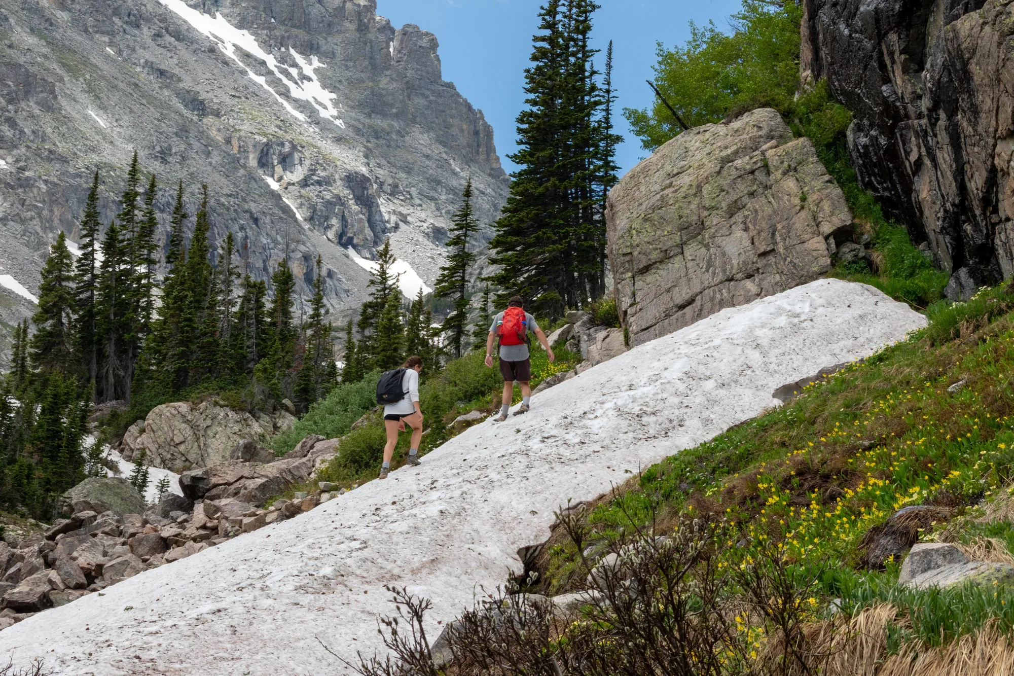
John Wesley Powell's survey party made the first recorded ascent of Longs Peak on August 23, 1868, up the south side. The standard route today, the Keyhole, runs 8.4 miles each way with 4,875 feet of climbing, technical enough for the last stretch that the National Park Service is blunt about it: this is not a hike, it is a climb, over sheer rock where an unroped fall would likely be fatal.
Fifty nine people have died on Longs Peak. The Park Service puts the average at about two deaths a year, and the single biggest reason is not the exposure or the loose rock, it is timing: afternoon thunderstorms build reliably over these peaks in summer, and lightning is the most common killer on Colorado's highest mountains most years. That is the entire reason for the standing rule to start in the dark and be back below treeline before early afternoon. It is not caution for its own sake. It is the one variable on this mountain a hiker actually controls.
The Road Gives You the View. It Does Not Give You the Weather.
Afternoon storms do not stay on Longs Peak. They roll across the same ridgeline Trail Ridge Road climbs, and eleven miles of treeless road at 12,000 feet offers exactly as much lightning shelter as a summit does, which is none. Check the forecast before you drive up, not just before anyone hikes, and get below the ridge if thunderheads build, whether you are on foot or still in the car.
Drive back down off the tundra at the end of it and the gap from the opening is still there, just smaller. A road took you to 12,183 feet without asking anything of you. A mountain a few miles south asked fifty nine people for everything, and two more, on average, every year since. Both are real. The rock under both of them is 1.7 billion years old either way.
Rock ages, the Laramide orogeny, and glaciation dates checked against USGS.gov's geology of Rocky Mountain National Park. Trail Ridge Road, Rock Cut, Longs Peak, and elk figures checked against NPS.gov's current visitor-planning and nature pages. Park history and the elk reintroduction date were cross-referenced against independent public records.