
Stand under the moss canopy of the Hoh Rain Forest and the ocean is less than an hour's drive away, glaciated peaks not much farther than that. No other park in the Lower 48 crowds a temperate rainforest, a wild ocean coastline, and a mile-high mountain range inside one boundary. Most visitors pick a single corner and never notice the park keeps going.
Nobody planned it that way, exactly. Olympic exists today because two unrelated rescue efforts and a much later land grab happened to land in the same place: an elk herd saved in 1909, a mountain park carved out in 1938, and a strip of coastline added on almost as an afterthought fifteen years after that. Three parks, stitched into one, none of them aware the others were coming.
A Park Built to Save an Elk
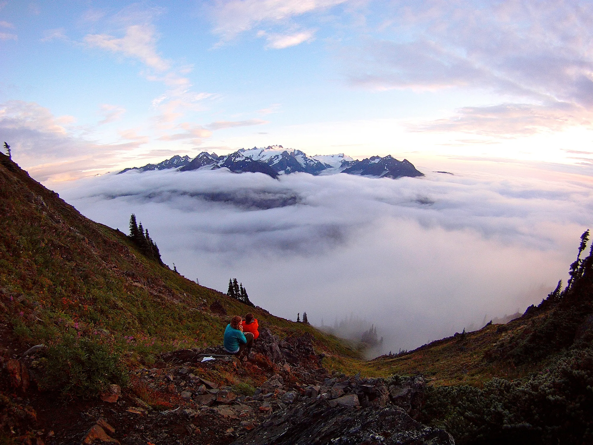
President Grover Cleveland set aside the Olympic Forest Preserve in 1897, and in 1909 Theodore Roosevelt carved out Mount Olympus National Monument specifically to stop the decline of the elk herd that would later carry his name. It took until 1938, after Franklin D. Roosevelt toured the peninsula himself, for Congress to upgrade the protected ground into an actual national park. The coastal strip, the piece most people now associate with Olympic first, was not added until 1953, fifteen years later and almost as a separate decision. UNESCO named the park a Biosphere Reserve in 1976 and a World Heritage Site in 1981, recognition for a park that was never designed as one thing to begin with.
- 1897 OLYMPIC FOREST PRESERVE
- 1909 MOUNT OLYMPUS NATIONAL MONUMENT
- 1938 OLYMPIC NATIONAL PARK
- 1953 COASTAL STRIP ADDED
Twelve Feet of Rain, Give or Take
The Hoh gets more than twelve feet of rain a year, by the National Park Service's own count, enough that almost nothing here has bare bark. Licorice fern and club moss cover the bigleaf maples so completely that the trees can look less like plants than like something upholstered, and the moss draws so much of its water straight from the air that a maple can lose an entire limb to the sheer weight of what's growing on it. None of this makes the Hoh unique in kind, temperate rainforests exist elsewhere on the Pacific coast, but the National Park Service's own description of "over twelve feet of rain a year" puts it near the wet extreme even for that company.
A Lake With Almost Nothing Living in the Water Itself
Lake Crescent runs 624 feet at its deepest and holds visibility of roughly 60 feet in places, a real number for a lake this size, and the reason is almost boring: the water is so low in nitrogen that phytoplankton, the tiny floating algae that clouds most lakes, simply cannot get a foothold. No plankton bloom, no green haze, just clear water down to a depth most lakes never let you see. Local Klallam and Quileute tradition tells a different origin story, that a mountain spirit, angered by warfare along the river here, hurled a boulder that dammed the valley and backed up the water that became the lake. Geologists mostly credit glaciers and a later landslide instead, which split one larger lake into Crescent and its smaller neighbor, Lake Sutherland. Both explanations end at the same lake.
Turn This Route Into a Real Plan
Pick your dates and your crew: the AI trip planner builds the day-by-day for Olympic, drive times between the three ecosystems included.
Open the Trip PlannerSeventy Three Miles With Almost No Road Touching It
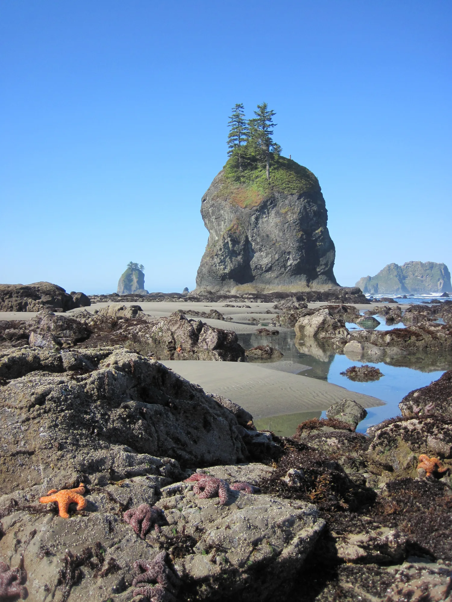
The National Park Service describes its stretch of coastline as protecting more than 73 miles of "some of the most primitive natural coastline in the 48 contiguous United States," and it earns that description mostly by omission: outside of Rialto and Kalaloch, almost none of it has a road running alongside it at all. Ruby Beach is one of the easy exceptions, a short walk down from a parking pullout to sea stacks, tide pools, and driftwood piled the size of felled trees. Wander the other 70-plus miles and the access changes fast, foot traffic only, a wilderness camping permit required for any night spent on the sand.
A Waterfall That Can't Decide Which Way to Fall
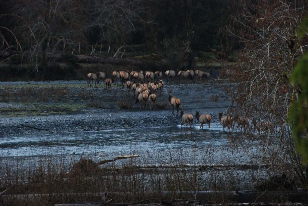
Depending on how much water is running, Sol Duc Falls splits into as many as four separate channels on its way down a 48-foot drop into a narrow rock canyon, reachable by an easy 1.6-mile round trip walk through forest. A short distance away, the Sol Duc Hot Springs once had genuinely grand company: a five-star hotel opened at the site in 1912, drew visitors from well outside the region, and burned to the ground in 1920, eight years after it opened. A smaller hot springs resort has occupied the site since. The waterfall never needed the hotel to be worth the walk, and it outlasted it by more than a century.
The Animal the Whole Park Was Built Around
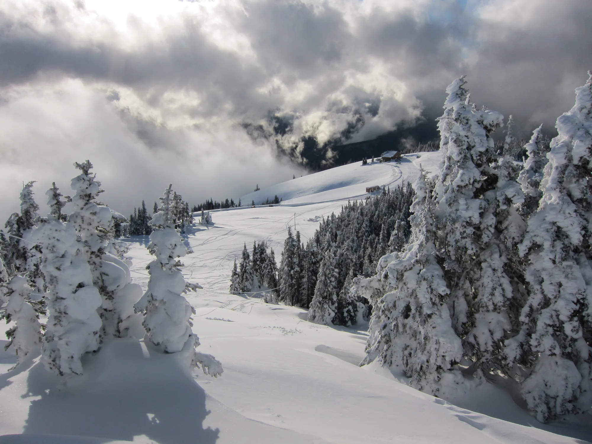
The Hall of Mosses is an easy 0.8-mile loop through the Hoh's most photographed grove, moss and licorice fern draped over bigleaf maple in every direction the light reaches. It is also, less obviously, a monument: Roosevelt elk, the subspecies named for Theodore Roosevelt, still roam the surrounding valley in what the Park Service calls the largest fully wild herd of its kind in the Pacific Northwest, the same herd his 1909 monument was created specifically to protect. Herds here typically run in loose groups of around twenty. The moss gets the photographs. The elk is the actual reason any of this ground was ever set aside at all.
Founding history, rainfall, Roosevelt elk, and coastline figures checked against NPS.gov's own Olympic history, temperate rain forest, Roosevelt elk, and wilderness coast pages. Lake Crescent's depth, clarity, and origin checked against the park's own Lake Crescent area brochure. Sol Duc Falls' channel count, drop height, and hotel history cross-checked against the Washington Trails Association.