
Long before there was a trailhead sign or a parking lot, the Upper Skagit and Lake Chelan peoples crossed Cascade Pass on foot, moving between the wet western slopes and the dry country to the east, carrying whatever one side had that the other didn't. They had a name for it, in their own language, that meant exactly what it did: Stehekin, the way through.
A Path People Used Long Before It Had a Name in English
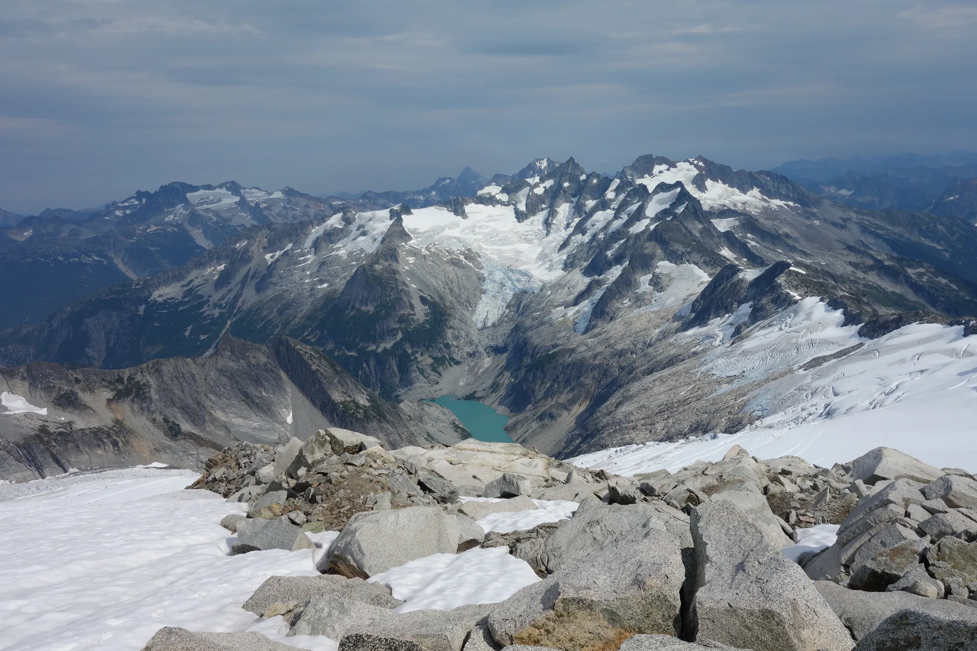
The Lake Chelan and Upper Skagit peoples used Cascade Pass as a regular trade route for thousands of years, crossing mainly in summer and fall when milder weather and melting snow opened the high country, though evidence suggests the Upper Skagit crossed in winter as well. They knew the terrain intimately enough to travel by ridge crest rather than valley floor, avoiding the roughest ground on a route that let people on opposite sides of the range trade for resources the other side simply didn't have.
The Upper Skagit cached canoes at the head of Lake Chelan for trips south down the water. The Chelan people crossed eastward by way of Twisp Pass. Everyone involved called Cascade Pass by a name that translates, simply and directly, to "the way through."
The first recorded Euro-American crossing didn't happen until 1814, when fur trader Alexander Ross followed a version of that same network: over Twisp Pass, down Bridge Creek to the Stehekin River, upstream along it, across Cascade Pass, and down the Cascade River to the Skagit. He was, in effect, following a road that had already existed for millennia. He just hadn't been the one to build it.
- Used by LAKE CHELAN & UPPER SKAGIT PEOPLES
- Duration THOUSANDS OF YEARS
- Name "STEHEKIN" · "THE WAY THROUGH"
- First Euro-American crossing 1814, ALEXANDER ROSS
Plan the Cascade Pass Trail
The modern trail follows a version of the same route people have crossed for thousands of years.
Open the Trip PlannerStill No Road In
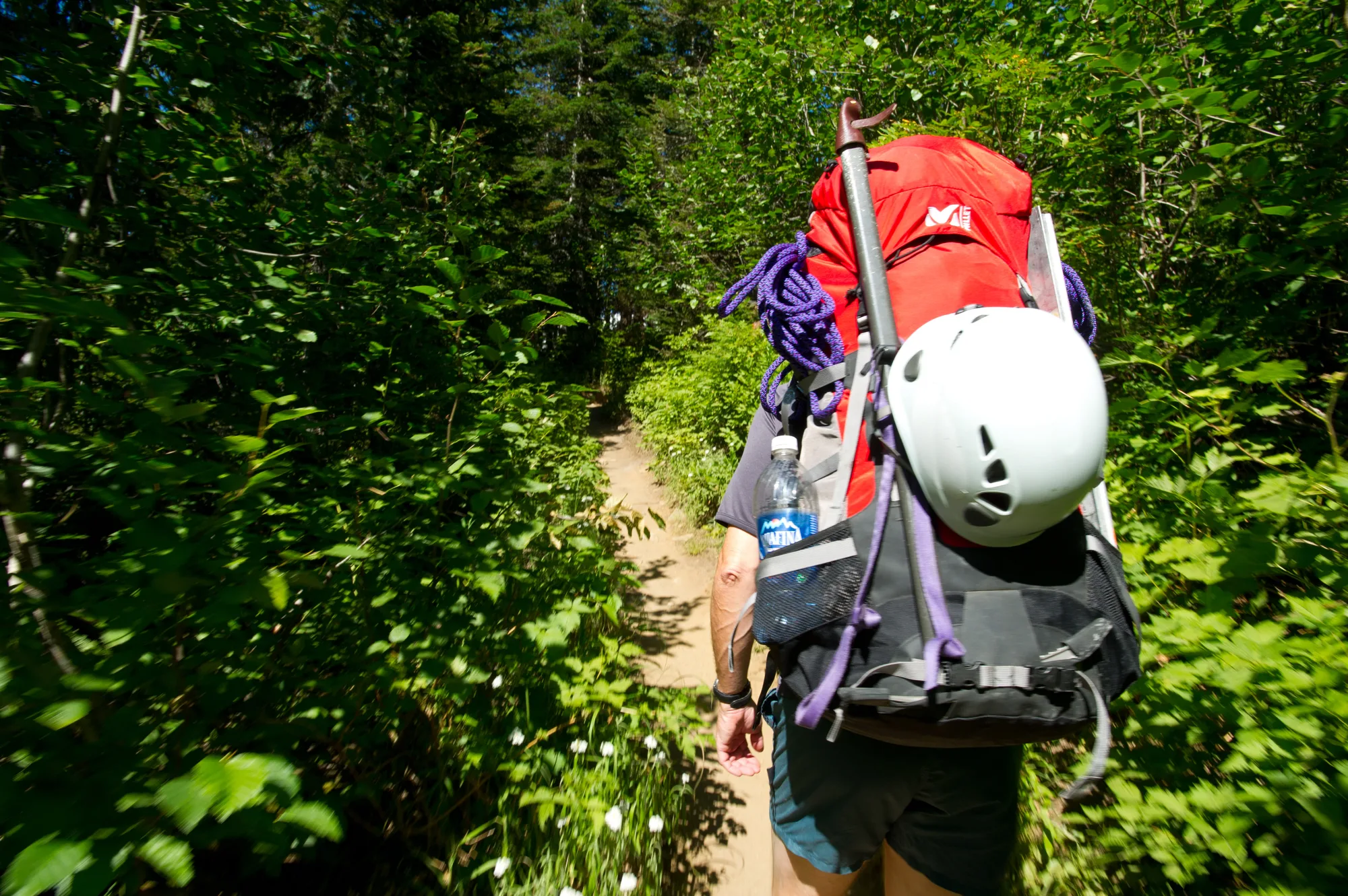
Fur trappers followed Ross into the region starting in the late 1700s, working mostly in winter to supplement other income. The Weaver brothers trapped near Stehekin and ran a taxidermy business at Weaver Point; John McMillan trapped along Big Beaver Creek and the upper Skagit River into the late 1800s, going after beaver, bear, cougar, wolf, lynx, fisher, marten, and fox.
What never followed any of that activity was a road. No outside road leads into Stehekin today. It isn't possible to drive there at all. Visitors reach it by passenger ferry from Chelan, by hiking or horseback into the valley on wilderness routes with a backcountry permit, by private boat to one of Lake Chelan's public docks, or by small aircraft landing on the lake itself or at Stehekin's grass airstrip. There's no scheduled commercial air service, and personal watercraft are banned on the approach.
- By road NOT POSSIBLE · NO OUTSIDE ROAD EXISTS
- By ferry FROM CHELAN, VIA FIELDS POINT & LUCERNE
- By trail WILDERNESS ROUTES, PERMIT REQUIRED
- By air CHARTER/PRIVATE ONLY · NO SCHEDULED SERVICE
Native use of Cascade Pass, the "Stehekin" name and translation, and Alexander Ross's 1814 crossing checked against the National Park Service's official Native Peoples page for North Cascades. Fur trapping history checked against NPS's official Fur Traders page. Modern access to Stehekin checked against NPS's official Getting to Stehekin page.
Nothing about that has really changed. The pass was the way through for people moving on foot with nothing but what they could carry, and centuries later, a road still hasn't managed to reach the valley at the end of it. Stehekin remains exactly what its name always said it was, a way through and nothing more, a place you still have to actually travel to reach rather than simply drive to.