
Nobody at the National Park Service will tell you the New River is the second-oldest river in the world. They will tell you, and the state's own geological survey backs this up, that it has carved the same path for at least sixty-five million years. Call it what it actually is: one of a small handful of rivers on Earth old enough that the mountains around it have risen, weathered, and risen again since it first cut this way.
The name is the joke. Everything else about it is not.
Older Than It Sounds
Geologists trace the New River back to an ancient predecessor called the Teays River, and the New has held roughly its present course for at least sixty-five million years, long enough to qualify, by most counts, as one of the five oldest rivers on the planet. A popular claim ranks it as the world's second-oldest river after the Nile. West Virginia's own Geological and Economic Survey and the National Park Service both push back on that specific ranking. The dating methods behind "second oldest" don't hold up to scrutiny the way "very, very old" does. So that's the honest version: not provably second, almost certainly ancient.
Nobody agrees on why it's called "new" at all. One theory says it never made it onto the 1751 Fry-Jefferson map of Virginia, so later surveyors marked it as an unrecorded, and therefore "new," waterway. Another traces it to an Indigenous phrase meaning something like "new waters." A third credits an early settler's surname. Before any of that, eighteenth-century explorer Abraham Wood had it marked on his own maps as Wood's River. None of the three explanations for "New" has won out. The rock underneath the water settled the matter tens of millions of years before anyone was around to argue about the sign.
- Minimum age, present course 65 MILLION YEARS
- Total length ABOUT 360 MILES
- "Second-oldest river" claim DISPUTED BY USGS & NPS
A River That Cuts Through, Not Around
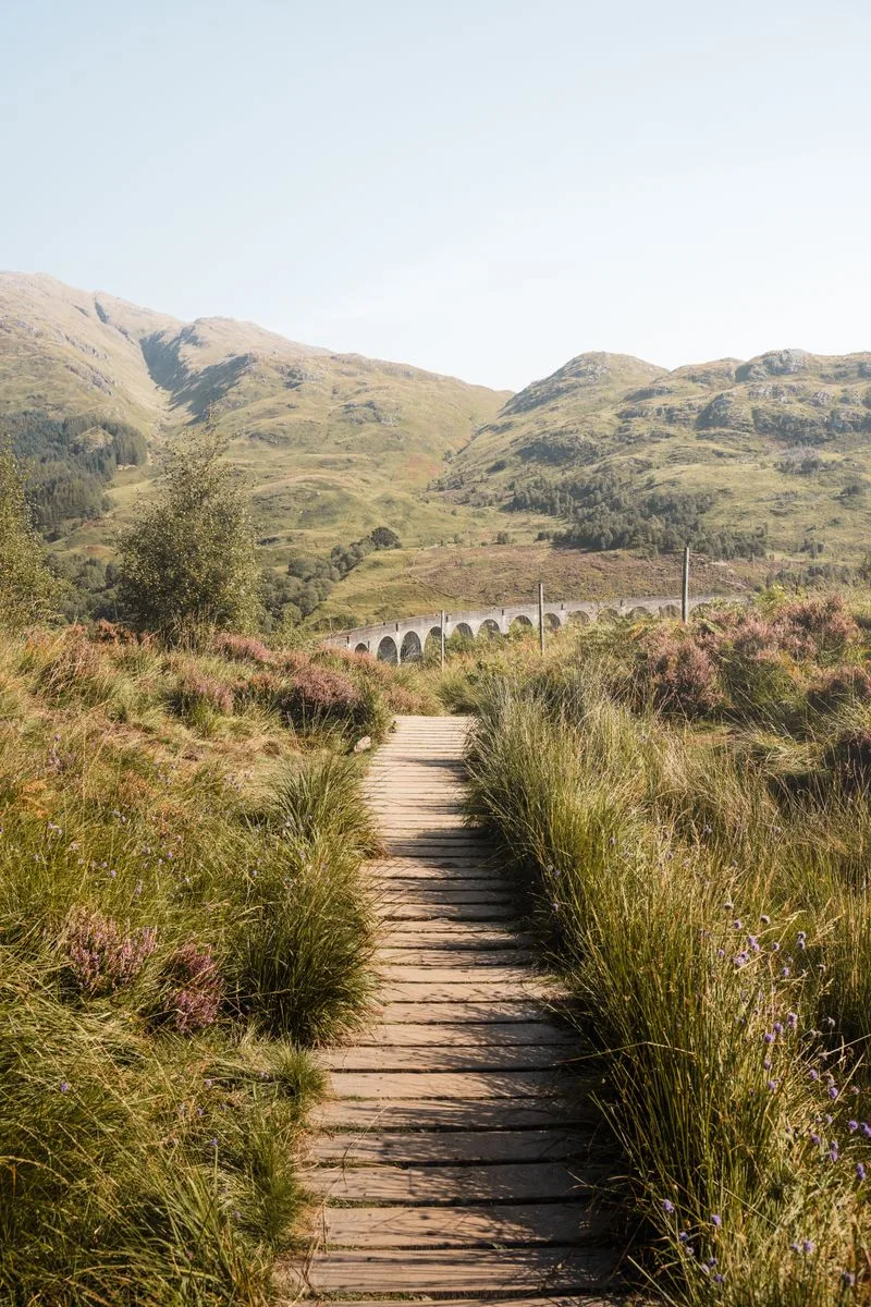
Most rivers take the path of least resistance, flowing down and around whatever rock stands in the way. The New River runs generally south to north, cutting straight across the grain of southwest-to-northeast Appalachian ridgelines that block nearly every other eastern waterway. That only works if the river got there first. The New River was already flowing through this stretch of ground before the modern Appalachians finished rising around it, so as the mountains pushed up, millimeter by millimeter, over tens of millions of years, the river simply kept cutting down at close to the same pace it was being lifted.
The result is the gorge itself: in places over a thousand feet from rim to river, walls of sandstone and shale stacked up by a mountain range that lost a very slow argument with the water at its base. Rafters who run the lower gorge's whitewater are floating through rock laid down before the Appalachians existed in a form anyone today would recognize.
Turn This Route Into a Real Plan
Pick your dates and your crew: the AI trip planner builds the day-by-day for New River Gorge, drive times and overlooks included.
Open the Trip PlannerFrom National River to National Park in One Signature
President Jimmy Carter signed New River Gorge into existence as a National River on November 10, 1978, a designation that protected the water and the gorge without carrying the "National Park" name or its tourism pull. That status held for over four decades. Then, on December 27, 2020, it was redesignated New River Gorge National Park and Preserve, tucked into the Consolidated Appropriations Act and signed by President Donald Trump. It is one of the newest national parks in the entire system.
The split matters more than the paperwork suggests. Only about seven thousand of the property's roughly seventy-three thousand acres actually carry the "National Park" designation, a sliver clustered around the most dramatic stretch of gorge near the bridge. Everything else, more than ninety percent of the land, remains "National Preserve," where hunting and fishing are still allowed the way they always were under the old National River rules. Visitors driving through rarely notice the line. It's there anyway, splitting a river that doesn't care what Congress calls it into two different sets of federal rules on either side of an invisible boundary.
- 1978 DESIGNATED NATIONAL RIVER BY CARTER
- 2020 REDESIGNATED NATIONAL PARK & PRESERVE
- Park portion ~7,021 OF ~72,808 TOTAL ACRES
Sandstone Falls
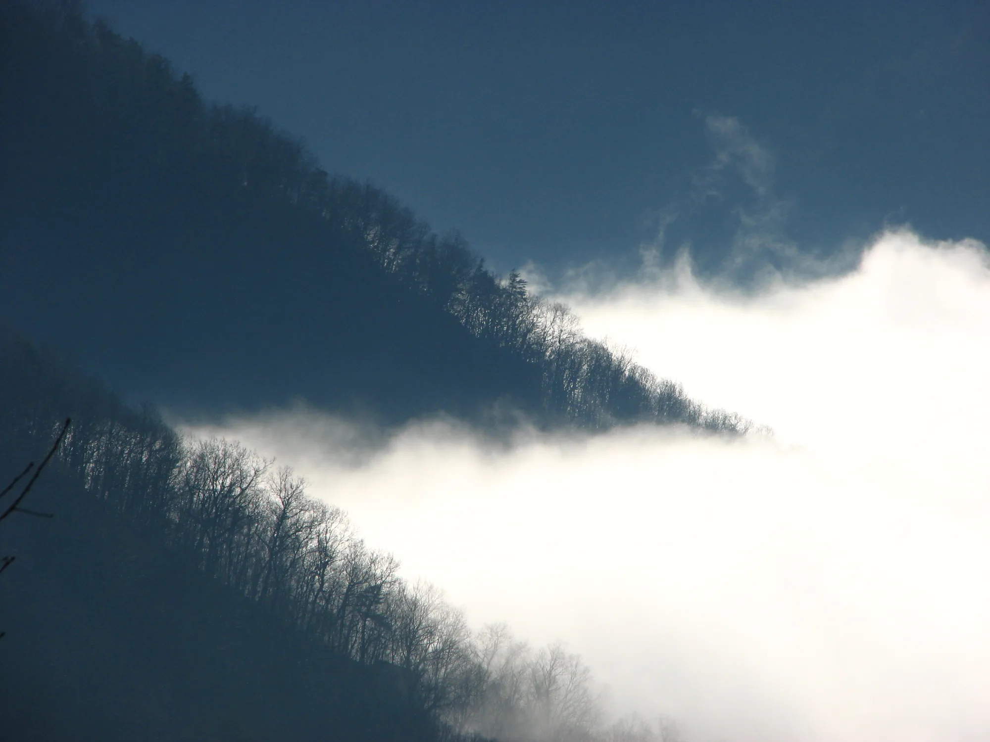
Near the park's southern end, the New River spreads out across a series of ledges at Sandstone Falls, a drop that never gets taller than about twenty-five feet but stretches nearly a half mile from bank to bank. A boardwalk and a set of footbridges let visitors walk out over the rock the river is still, slowly, cutting through. Standing on it puts a visitor closer to the working mechanism of the whole park than any overlook higher up the gorge can manage.
It doesn't look like much happening at once. That's the point. A river doesn't carve a thousand-foot gorge in a single flood. It does it the way Sandstone Falls does it, one ledge, one grain of sandstone, one ordinary afternoon at a time, repeated for longer than the Appalachian Mountains around it have existed in their current shape.
Facts and figures checked against NPS.gov and the West Virginia Geological and Economic Survey's public findings on the New River's age. The "second-oldest river in the world" claim is widely repeated in tourism material but disputed by both USGS-adjacent state geological research and the Park Service's own materials; this piece states the sourced, undisputed figure (course held for at least 65 million years) rather than the disputed superlative.
The sign on the way in still says "New River." The rock underneath has known better for sixty-five million years and has never once corrected anyone.