
Every trailhead sign at Mount Rainier says the same thing in different words: you are standing on a volcano. Most hikers read it the way they read a speed limit sign, background noise on the way to a better view. The U.S. Geological Survey does not treat it that way. Mount Rainier is one of sixteen volcanoes worldwide named a "Decade Volcano," a formal designation for the sites most likely to kill people and destroy property if they erupt again.
What makes Rainier different from most of the other fifteen is who lives downstream. Roughly 80,000 people currently occupy the valleys below the mountain's glaciers, built on ground that a past version of this exact volcano has already covered once, without warning, in mud.
A Decade Volcano
The Decade Volcano program, launched by volcanologists in the 1990s, singles out sites judged most dangerous based on a combination of eruption history and nearby population, not on how active a volcano currently is. Mount Rainier last erupted with confirmed certainty around 1894, a minor event, and it shows no signs of imminent activity today. The designation isn't a prediction of when. It's an acknowledgment of what's already true: an eruption, whenever it happens, would unfold above one of the fastest-growing regions in the Pacific Northwest.
The specific danger isn't lava. It's what a glacier-covered volcano does to its own slopes when heat, meltwater, and loose volcanic rock combine, with or without an actual eruption to set it off.
The Osceola Mudflow
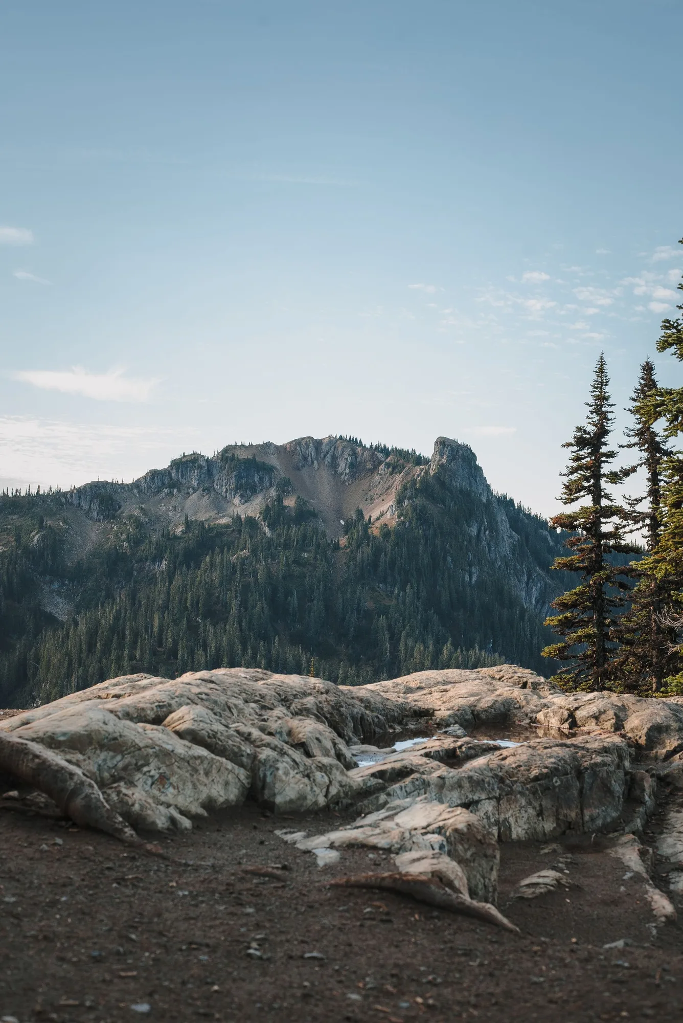
Radiocarbon dating of buried wood puts the Osceola Mudflow at roughly 5,600 years old, the result of a sector collapse that tore away part of the mountain's upper cone and left a crater more than a mile wide, still visible in Rainier's present, lopsided summit shape. What began as a rock and ice avalanche picked up hydrothermal water within two kilometers of starting and turned into a lahar: a fast-moving slurry of mud, rock, and melted ice with the consistency of wet concrete, moving at highway speed.
It moved at an estimated 43 miles per hour and didn't stop until it reached Puget Sound, roughly fifty kilometers from the summit. The debris field covered more than 200 square miles, in places over 300 feet deep. Kent, Auburn, Enumclaw, Sumner, Buckley, and Puyallup, real towns with tens of thousands of residents today, sit directly on top of what that mudflow left behind.
- When ABOUT 5,600 YEARS AGO
- Distance traveled ~50 KM TO PUGET SOUND
- Speed ~43 MPH
- Area covered ~210 SQUARE MILES
Plan the Trip, Not the Disaster
The trip planner routes Paradise, Sunrise, and the trailheads around what the mountain is actually doing this season.
Open the Trip PlannerOrting
Orting, Washington sits about thirty miles from Mount Rainier's summit, downstream along the Puyallup and Carbon river valleys, built on multiple stacked layers of old lahar deposits going back thousands of years. It's the community geologists consistently name as the most exposed to a future lahar, not because it's unlucky, but because the same river valleys that carried the Osceola Mudflow and later, smaller ones still funnel straight toward it. A future lahar, scientists estimate, could reach Orting in about thirty minutes.
The town's population grew from 6,746 in the 2010 census to 9,041 by 2020, a 34 percent jump, mostly newcomers who moved in well after the hazard maps already existed.
The Warning System
The Mount Rainier Lahar Warning System places acoustic flow monitors along the Carbon and Puyallup river valleys, sensors built to detect the specific low-frequency rumble a lahar makes moving down a streambed, distinct from an ordinary flood. A confirmed signal triggers sirens throughout Orting and neighboring communities, giving residents the same roughly thirty minutes the flow itself would take to arrive. Schools in the valley run evacuation drills on a regular schedule, not as disaster theater, but as the same kind of practiced muscle memory as a fire drill.
None of this means an eruption is coming soon. Mount Rainier shows no unusual seismic activity, and the USGS Cascades Volcano Observatory monitors it continuously specifically because the risk, however calm the mountain looks from Paradise's meadows, doesn't go away just because nothing is currently happening.
Facts and figures checked against the USGS Cascades Volcano Observatory and NPS.gov's Mount Rainier volcanic hazard materials, plus U.S. Census Bureau population data for Orting, WA. Mount Rainier's Decade Volcano status reflects hazard potential based on population exposure and eruptive history, not a prediction of imminent activity; current monitoring shows no signs of unusual activity as of this writing.
The trailhead sign is still just a sign, easy to walk past on the way to a photo of the summit. Underneath the meadow it's planted in, and everywhere downstream of it, the ground remembers the last time this mountain moved.