
Joshua Tree National Park is named for a plant that, by strict botanical definition, isn't a tree. Yucca brevifolia has no true wood and no growth rings the way an oak or a pine does; DNA research places it in the agave family, a giant relative of houseplants and asparagus that happens to grow upright and treelike in the Mojave's dry air. The Park Service's own account of how it got its common name, Mormon settlers reportedly seeing the shape of the biblical Joshua pointing west in its branches, comes with an honest caveat attached: "historical records offer little evidence for this tale."
That small piece of botanical fine print turns out to explain a lot about the rest of the park. This is a guide to four stops, roughly the order a drive from the west entrance would take you, that trace how an outlaw legend, a Pasadena conservationist, a family feud that ended in a killing, and a fault line all shaped the same 795,000-plus acres of desert around a plant that technically isn't what its own name says it is.
Two of the park's best-known landmarks, Cholla Cactus Garden and the Oasis of Mara, aren't part of this route. Both have been closed for trail repairs for months as of publication, Cholla Cactus Garden since around the start of 2026 and the Oasis of Mara since flood damage in September 2025, and neither has a confirmed reopening date. Check the park's current conditions page before you go; this route sticks to four stops that were open at the time of writing.
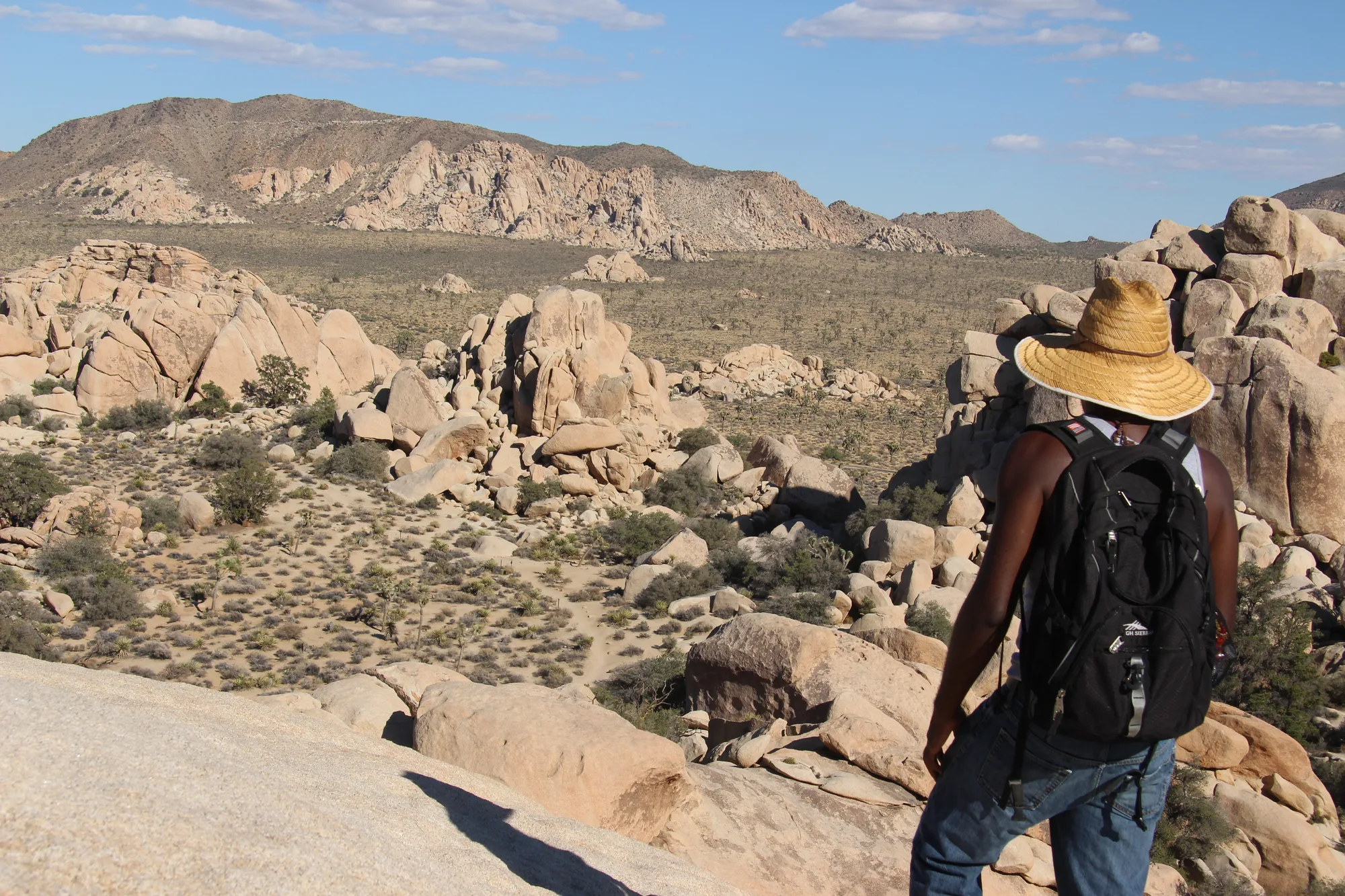
A Dam Built Twice, and a Shot That Echoed for Five Years
Cattlemen, including a rancher named C. O. Barker, poured the first nine feet of this dam in 1900, catching whatever rain the desert was willing to give up for their herds. It sat that way for almost fifty years until Bill Keys, the same rancher who blasted the notch into Hidden Valley, raised it six feet higher with his own family's labor between 1949 and 1950. An inscription from that work still credits Willis Keys, W. F. Keys, and Phyllis M. Keys by name. The water here, when there is any, still does the job it always did: the one reliable drink for bighorn sheep and everything else living out here between storms.
A short walk from the same parking area sits Wall Street Mill, and the story attached to it is the one Hidden Valley's rustler legend only wishes it had documentation for. On May 11, 1943, Bill Keys shot and killed a neighbor, Worth Bagley, in a dispute over access to that mill. Keys turned himself in, was convicted of manslaughter, and was sent to San Quentin for ten years. His wife Frances wouldn't let it end there. She reached the mystery writer Erle Stanley Gardner, whose real-life Court of Last Resort took up cases that looked like they'd been tried wrong the first time. Gardner's team found facts the original trial never heard, the case reopened, and Keys walked out with a full pardon after serving five of his ten years.
- 1936 JOSHUA TREE NATIONAL MONUMENT ESTABLISHED, 825,000 ACRES
- MAY 11, 1943 WALL STREET MILL SHOOTING
- 1949–1950 BARKER DAM RAISED BY THE KEYS FAMILY
- 1950 MONUMENT CUT BY ~290,000 ACRES FOR MINING INTERESTS
- 1994 CALIFORNIA DESERT PROTECTION ACT, FULL NATIONAL PARK STATUS
- AUGUST 2017 DESIGNATED AN INTERNATIONAL DARK SKY PARK
Turn This Route Into a Real Plan
Pick your dates and your crew: the AI trip planner builds the day-by-day for Joshua Tree, drive times between stops included.
Open the Trip PlannerWhere the Desert Changes Its Mind
At 5,185 feet, this overlook does something Joshua Tree rarely does anywhere else in the park: it lets you see past its own boundary. The ground drops away into the Coachella Valley, and on a clear day the view reaches Signal Mountain in Mexico, ninety miles south. The line where these mountains meet that flat valley floor isn't just scenery. It's the San Andreas Fault itself, the boundary where two tectonic plates grind past each other and have been building this exact skyline for longer than anyone has been standing here to watch it.
The Joshua trees behind you, the ones the whole park is named for, are already retreating from the lower, hotter ground this view makes obvious. NPS's own modeling puts nearly all suitable Joshua tree habitat inside this park at risk by the end of the century under a high-emissions climate path, and even the more moderate projections still put the loss near 80 percent. The trees aren't disappearing everywhere at once. They're pulling back uphill, toward cooler elevations like the one you're standing on, the same way the species has shifted range before across past ice ages, only faster now than it's ever had to move.
The Ice Cube Trick
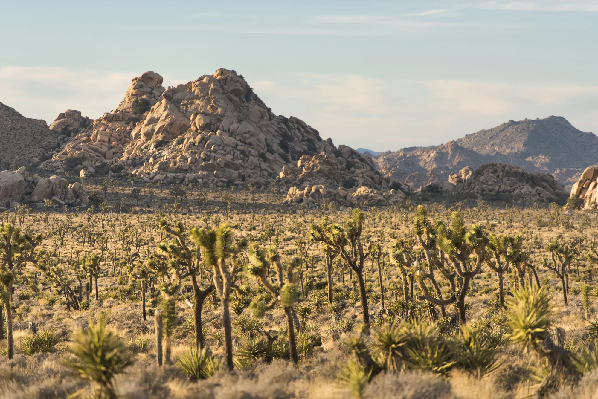
Everything piled up around you is White Tank monzogranite, magma that cooled about 85 million years ago some fifteen miles underground, slow enough to crystallize into solid rock instead of ever erupting anywhere. It sat there doing nothing dramatic for tens of millions of years while groundwater worked on it along the joints, the natural cracks any cooled rock develops. Wherever that water touched a mineral called potassium feldspar, it swapped it for a soft clay, rounding off every hard edge along those joints while the rock was still buried and invisible, the same way an ice cube left in a glass rounds off at the corners first.
About seven to nine million years ago the climate here dried out, the chemical weathering slowed, and millions of years of erosion since then have stripped away the softened rock and left exactly the rounded shapes that clay was quietly carving out of sight the whole time. The hollows that gave this formation its name were carved by that same underground process, long before anyone was around to notice it looked like a skull.
Back where this route started, the plant the whole park is named for is still doing the thing that makes it interesting in the first place: not being a tree. Every Joshua tree here depends on a single kind of moth, a yucca moth barely half an inch long, that is the only insect built to pollinate its flowers; the moth's larvae eat some of the seeds in exchange, and the tree tolerates the loss well enough to keep reproducing anyway. Nearly 3 million people came to see that arrangement play out last year alone. Whether their grandchildren get the same view from Keys View is, per the park's own scientists, a real open question, and the trees themselves are already voting with their roots on the answer.
The Joshua tree's botanical classification, the honestly-hedged Mormon-naming legend, its lack of growth rings, and the yucca moth pollination relationship checked against NPS.gov's own Joshua Trees page. Minerva Hoyt's campaign, the 1936 monument's 825,000 acres, and the 1994 California Desert Protection Act's 234,000-acre addition, plus Bill Keys's 1936 Hidden Valley notch, the Barker Dam construction history, and the May 11, 1943 Wall Street Mill shooting and pardon, checked against NPS.gov's own park history pages, cross-checked against a second independent trip-report source for supporting detail. The 1950 reduction of roughly 290,000 acres for mining interests and the park's current 795,156-acre total checked against Wikipedia's Joshua Tree National Park entry. Keys View's elevation, the Signal Mountain sightline, and the San Andreas Fault framing checked directly on NPS.gov; Joshua tree climate-risk modeling checked against NPS's own published habitat projections. Skull Rock's White Tank monzogranite geology and weathering timeline checked against NPS.gov's park geology material. The park's August 2017 International Dark Sky Park designation checked against DarkSky International's own announcement. The 2,932,644 visitor count for 2025 and the current closures of Cholla Cactus Garden and the Oasis of Mara checked against NPS.gov's park statistics and news pages; both closures lacked a confirmed reopening date as of publication, so neither is treated as open in this piece.