
Stand at the rim and pick up a piece of gravel, and there is a real chance you are holding something older than complex life on land. The basement rock at the bottom of Grand Canyon, the Elves Chasm pluton, has been dated to 1.84 billion years old. The layer at the very top, the pale Kaibab Formation you are probably standing on, is a comparative youngster at 270 million years. That is roughly 1.57 billion years of rock, stacked and exposed for anyone to walk down into. And yet the canyon itself, the actual hole in the ground, is almost brand new by comparison: geologists put its carving at somewhere in the past 5 to 6 million years. The rock is ancient. The void is not. Almost everything else about this park follows from that one mismatch.
The route below follows five stops any South Rim visitor can drive to without a permit or a lottery: Mather Point, Yavapai Point, the Bright Angel Trailhead in Grand Canyon Village, Hermits Rest at the end of Hermit Road, and the Desert View Watchtower 25 miles east. Each one carries a different piece of the same story, how old the rock is, how young the canyon is, why the hike down is the easy half, and who actually got this place protected, and when.
A Mile Down, Ten Miles Across
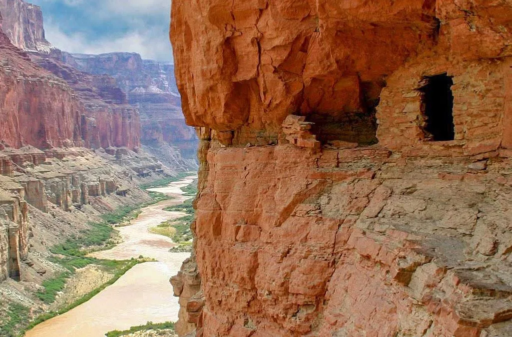
Mather Point sits a short walk from the main visitor center, which is why it is most people's first look, and it is a good place to get the scale right before the rest of the drive. Grand Canyon runs 278 river miles end to end. Its width varies enormously, from as little as 600 feet at the narrow upstream stretch called Marble Canyon to 18 miles at the widest point rim to rim. The depth averages about a mile. The South Rim itself sits at roughly 7,000 feet of elevation, a thousand feet lower than the North Rim across the way, which is the reason the South Rim stays open and drivable through winter while the North Rim closes.
None of that tells you what carved it. The short version: the Colorado River did, and it did most of that work recently. Recently, at least, on a scale where the rock itself remembers events more than a billion years back.
- Length 278 RIVER MILES
- Width 600 FT (MARBLE CANYON) TO 18 MI (RIM TO RIM)
- Average depth ~1 MILE
- South Rim elevation ~7,000 FT
Two Billion Years, Behind One Window
The rock record exposed at Grand Canyon spans from the 1.84-billion-year-old Elves Chasm pluton at the bottom to the 270-million-year-old Kaibab Formation at the rim, a span of roughly 1.57 billion years. The Trail of Time, a walking exhibit that runs from Yavapai Geology Museum toward Grand Canyon Village, makes that span physical: it covers close to 2,000 million years of exposed rock record over about 2,000 steps, with real canyon rock samples embedded along the way so each meter you walk stands for roughly a million years of Earth's history. It is the rare geology lesson you can feel in your legs.
What all that time does not explain is the canyon's shape. The layers below you sat mostly flat and buried for enormous stretches of that timeline, deposited as ancient seas, deserts, and river deltas came and went, long before there was a canyon here to look at them. The carving is a separate, much shorter story, one the next few stops keep circling back to.
Turn This Route Into a Real Plan
Pick your dates and your crew: the AI trip planner builds the day-by-day for the South Rim, viewpoint order and shuttle timing included.
Open the Trip PlannerDown Is the Easy Half
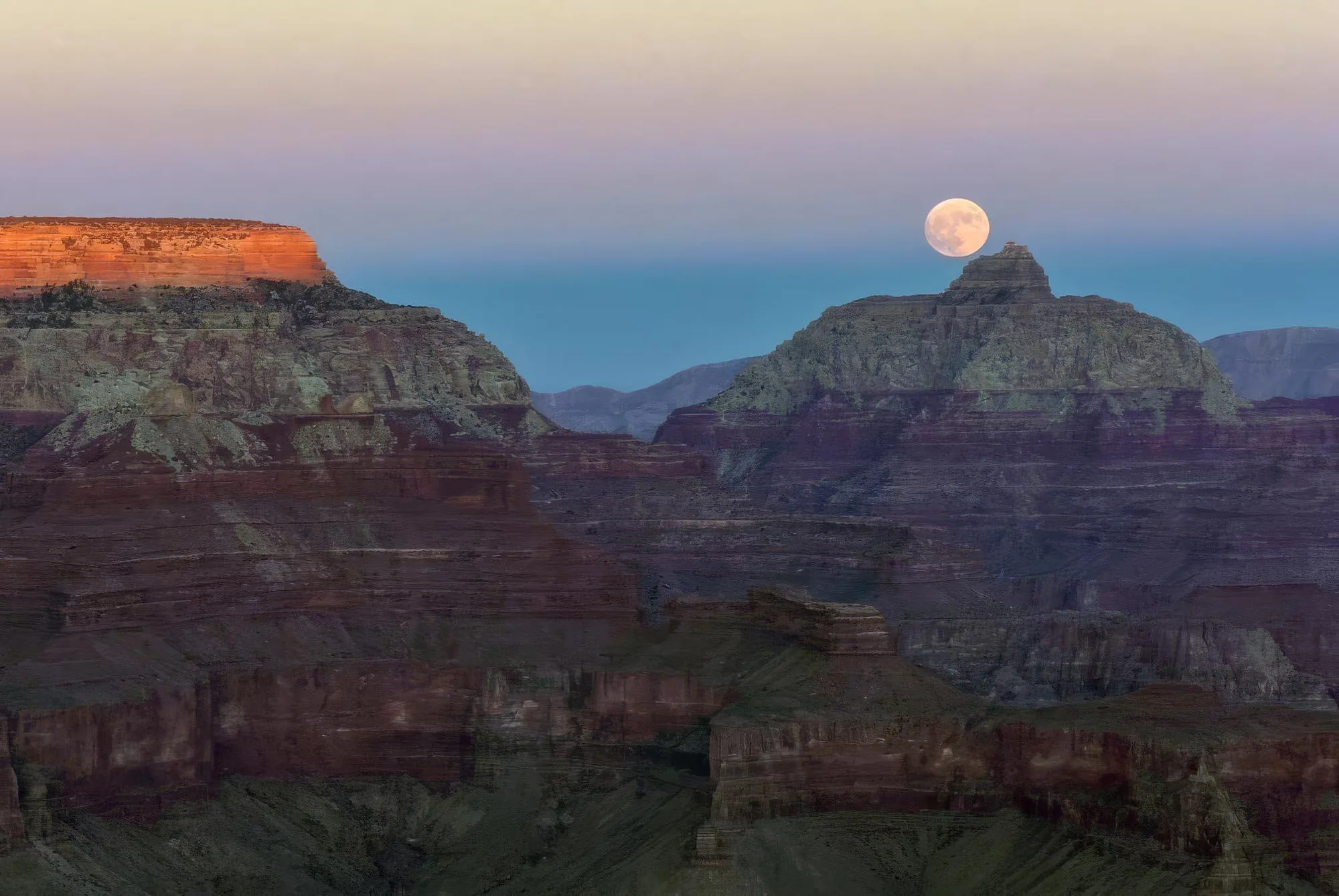
Bright Angel Trailhead, in the middle of Grand Canyon Village, is where most South Rim hikers actually start walking below the rim. The park's own guidance is blunt about what that means: allow a third of your time to descend and two-thirds to climb back out, because, in the Park Service's own words, coming back up is hard. Every hour spent hiking inside the canyon, the guidance says, is roughly the physiological equivalent of shoveling wet sand. That is not a metaphor about difficulty in general. It is a description of what heat, elevation, and a steep uphill grade do to a body at the same time.
The temperature swing is real and it runs the wrong direction for comfort. Summer temperatures near the river at Phantom Ranch, 2,400 feet of elevation below the 7,000-foot rim, typically climb past 100 degrees. The Park Service actively advises against hiking below the rim during an excessive heat warning, and when hikers do go anyway, the guidance is to move before 10am and after 4pm, rest near shade and water through the hottest hours, and drink when thirsty rather than on a fixed schedule. None of the canyon's below-the-rim trails loop back to the rim. Whatever way down you pick is also the way up.
- Time split 1/3 DOWN, 2/3 UP
- Phantom Ranch summer temps OFTEN OVER 100°F AT 2,400 FT
- Heat warning guidance NPS ADVISES AGAINST HIKING BELOW THE RIM
Named for a Man Who Wanted the Opposite
Architect Mary Colter designed Hermits Rest in 1914 for the Fred Harvey Company, and it still sits at the end of Hermit Road doing exactly the job it was built for: a place to warm up, use a fireplace, and rest before or after Hermit Trail. Colter built it to look less like a building than a ruin, native stone stacked to resemble an old miner's cabin that had simply always been there, blended in on purpose so it would not compete with the view.
The name comes from Louis Boucher, a French-Canadian prospector who lived alone near Dripping Springs Basin below the rim from 1891 to 1912, mining copper, keeping an orchard of roughly 75 fruit trees, and carving his own trail down to it. He came to be known simply as the Hermit. By the time Colter built the rest stop that bears his name, tourism had already replaced him. He had moved on to a coal mine in Utah two years earlier. The building preserves the nickname of a man who spent two decades trying to avoid exactly the kind of crowd it was built to serve.
Ten Men in Four Boats Got Here First
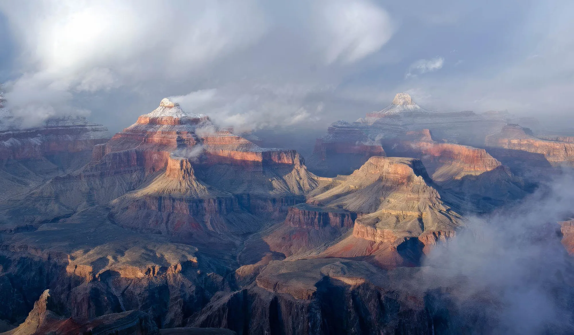
Desert View Watchtower, 25 miles east of the village, is the last stop on the drive and the first place most South Rim visitors actually see the Colorado River itself, cutting through the gorge below. Mary Colter designed the 70-foot tower in 1932, modeling it, by her own account, not as a copy of any single structure but from several Ancestral Puebloan towers she had studied at Hovenweep and Mesa Verde, built from uncut local stone so it would read as part of the promontory rather than something added to it.
What the river below the tower had already proven, more than sixty years earlier, was that this canyon could be run at all. On May 24, 1869, John Wesley Powell, a one-armed Civil War veteran, set out from Green River Station, Wyoming, with nine other men in four wooden boats to travel the Green and Colorado Rivers through country no expedition had mapped. One boat, the No Name, wrecked early at Disaster Falls. Only six of the ten men finished the trip, emerging near the mouth of the Virgin River on August 30, 1869, ninety-eight days after they had started. It was the first documented run of the entire river through the canyon, and it did more to put this place on a map than anything painted or photographed afterward.
Protection came slower than the exploring did. Theodore Roosevelt declared Grand Canyon a national monument on January 11, 1908, using the Antiquities Act after Congress had already failed to act on bills to protect it. The Santa Fe Railway had reached the South Rim in September 1901, seven years earlier, which meant tourism was already established before protection was. Grand Canyon did not become a national park outright until February 26, 1919, eleven years after Roosevelt's monument declaration. About 38,000 people visited that first year. In 2025, the park recorded 4,430,653.
The River You're Looking At Isn't the Same One That Carved This
Glen Canyon Dam, completed in 1963 upstream at 710 feet tall, changed the Colorado River running through the canyon in ways you can still see from every one of these overlooks. Before the dam, the river ran thick with sediment, prone to seasonal floods, and swung from warm to cold through the year, the same conditions that did the actual carving over the last 5 to 6 million years. The dam traps that sediment behind Lake Powell and releases water from deep, cold layers of the reservoir, so the river below is now clearer, consistently cooler, and no longer floods on its own. It is a different river doing a different, much quieter job than the one in the geology exhibits. If a black speck circles overhead on a thermal near any of these viewpoints, look for a numbered tag on the wing: California condors dropped to 22 birds worldwide by 1982, and the population reintroduced here is one of the reasons roughly 400 exist today.