
The Highline Trail starts at Logan Pass, the highest point on Going-to-the-Sun Road, and within the first mile it puts most hikers within arm's reach of a rock wall on one side and a real drop on the other. That's the part everyone hears about before they hear anything else about this trail. It's also, by most accounts, the shortest scary part of a very long, very worthwhile day.
Here's what's actually on that ledge, how long it lasts, and what the rest of the trail looks like once it's behind you.
The Ledge
Within roughly the first mile out of Logan Pass, the trail narrows to a shelf cut into the Garden Wall, with accounts putting the width anywhere from about four to eight feet depending on the stretch and who's measuring, and a drop toward Going-to-the-Sun Road below that's been described as roughly a hundred feet or more in places. The National Park Service has installed a hand cable bolted into the rock along the most exposed stretch, and most hikers who use it report the anxiety fades faster than the trail does. The exposed section itself is short relative to the trail's total length, well under a mile of genuine cliffside walking on an outing that runs most of a day.
After the Ledge
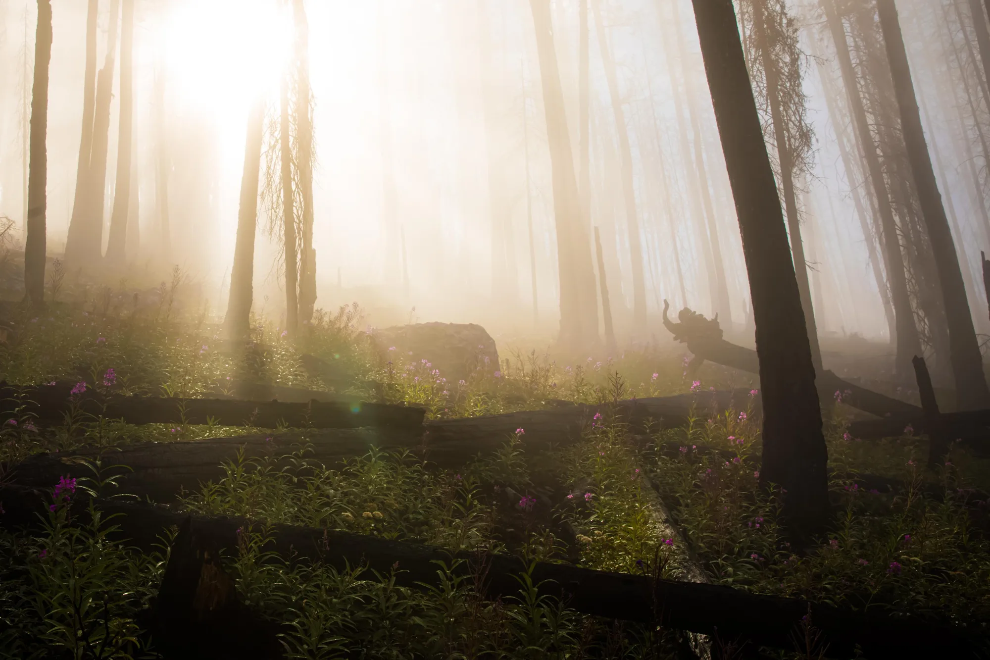
Past the ledge, the trail widens and eases into open, rolling alpine terrain along the Garden Wall, with wildflower meadows in July and real odds of spotting mountain goats and bighorn sheep along the way. Hiked point to point from Logan Pass to The Loop, the trail runs roughly 11.6 to 11.8 miles with about 800 feet of climbing overall and a net elevation loss, since The Loop sits well below Logan Pass. A shorter out-and-back option to Granite Park Chalet, about 15.2 miles round trip with roughly 1,920 feet of gain, is available for hikers who'd rather return the way they came than arrange a shuttle back.
Plan the Whole Sun Road Day Around This Hike
The AI trip planner factors shuttle timing and Logan Pass access into a real Highline Trail day.
Open the Trip PlannerGo Early, Use the Cable, Don't Look Down Longer Than You Need To
Most people who turn back do it in the first ten minutes, before the trail opens up and the ledge stops being the whole experience. Starting early beats the crowd that bunches up at the narrowest point later in the day, and using the cable the whole way through, rather than only when it feels necessary, keeps both hands occupied instead of free to grip the rock wall out of instinct. The point-to-point version ends at The Loop, well below Logan Pass, so getting back requires either Glacier's shuttle system or a prearranged ride; check current shuttle ticket availability before committing to that direction rather than the out-and-back.
The Grinnell Glacier Overlook Spur
For hikers who want a longer day out of the same trailhead, a spur trail branches off the Highline toward the Grinnell Glacier Overlook, adding real elevation and a direct look down at one of the park's active glaciers, the same shrinking ice this park's whole identity is now built around. It's a harder add-on than the base Highline hike, best attempted only after the initial ledge has stopped feeling like the hardest part of the day.
Trail distance, elevation, and the cabled ledge checked against multiple hiking-guide accounts of the Highline Trail (Hiking in Glacier and Earthtrekkers), which disagreed slightly on the ledge's exact width and length, given as a range here rather than a single false-precise figure. Shuttle and access details checked against NPS.gov's current Glacier planning pages.