
Kneel down on Sand Beach and pick up a handful of what looks like sand. It doesn't feel quite right between your fingers, coarser than beach sand usually is, paler, and about three quarters of it used to be alive: barnacle and mussel and sea urchin, ground down by decades of surf until it passes for sand at a glance. It is one of only two beaches on the entire Atlantic coast north of Cape Hatteras built this way.
The rest of the park keeps doing versions of the same trick. Acadia was never carved out of federal land the way most Western parks were, it was bought back, deed by deed, by people who did not have to sell it, then handed to the government whole. Three decades later it nearly burned off the map, and grew back a different, more colorful park than the one that burned. Even Cadillac Mountain's claim to being first in the country to see the sun each morning turns out to be true for only about a third of the year. Acadia is a park that keeps almost not being what you were told it is, and turns out to be something better instead.
A Park Nobody Was Forced to Give Up
George B. Dorr moved into Bar Harbor's summer colony as a young man and spent the next forty three years, and most of his family's fortune, buying up land on Mount Desert Island one deed at a time. He was not fighting off loggers or a railroad, not yet, he was fighting off what was already happening to the rest of the New England coast: private estates going up wherever the view was good, one after another, until the shoreline belonged to no one but the people who could afford it. In 1901 he helped found a land trust, the Hancock County Trustees of Public Reservations, built for exactly one purpose, to hold land in public trust before anyone else could buy it first.
It worked slower than a park usually gets made. Woodrow Wilson proclaimed the assembled land Sieur de Monts National Monument on July 8, 1916, protection but not yet a park. Congress upgraded it to Lafayette National Park on February 26, 1919, the first national park east of the Mississippi River and still the only one in New England. It carried Lafayette's name for a decade before Congress renamed it Acadia, after the old French name for the region, on January 19, 1929. Dorr became its first superintendent and stayed on the job into his eighties.
- 1901 HANCOCK COUNTY TRUSTEES FOUNDED
- Jul 8, 1916 SIEUR DE MONTS NATIONAL MONUMENT
- Feb 26, 1919 LAFAYETTE NATIONAL PARK
- Jan 19, 1929 RENAMED ACADIA NATIONAL PARK
The Beach That Is Mostly Not Sand
Most of what looks like sand at Sand Beach is shell, seventy to eighty percent of it by volume, ground fine by decades of surf out of barnacle and mussel and sea urchin. Real mineral sand, the kind worn down from granite, makes up the rest. It is one of only two beaches on the entire Atlantic coast north of Cape Hatteras built mostly of shell like this instead of stone, which is part of why the water here can look almost Caribbean on a clear day even though it rarely climbs out of the fifties.
That cold is not incidental, it is the whole reason for the swimming rule almost everyone ignores anyway. The Gulf of Maine keeps this water in the fifties even in August, cold enough that a body can lose real coordination within minutes. People swim here every summer regardless, and the beach earns its crowds honestly. It just does not forgive the same way a warmer beach would.
A Cave That Breathes Wrong on Purpose
Thunder Hole is a narrow chasm cut into the granite, shaped so an incoming wave gets trapped and compressed with nowhere to go but up and out, fast enough that trapped air joins the water on the way, which is what actually makes the boom. Time it right, an hour or two before high tide with some swell running, and the spray can clear the ledge by forty feet, with a sound that carries up the boardwalk before the spray does.
Time it wrong and the ocean does not announce which day that is. Even in flat calm, sneaker waves can wash over the surrounding rock with no warning at all, and the National Park Service does not treat that as a hypothetical: a woman was swept off these rocks in September 2022 and had to be rescued, and water rescues here happen often enough that the park's own safety page calls them, in careful language, not uncommon. The railing is not a suggestion.
Turn This Route Into a Real Plan
Pick your dates and your crew: the AI trip planner builds the day-by-day for Acadia, tide windows and drive times included.
Open the Trip PlannerWater the Ice Age Left Bottomless, More or Less

The Wisconsin ice sheet carved this basin on its way out, roughly the same era it was scraping the rest of Mount Desert Island down to granite, and it left behind the clearest water in Maine, visibility recorded as deep as sixty one feet on the best days, typically closer to forty four. The pond itself runs a hundred fifty feet at its deepest point, a genuinely large number for a lake you can walk all the way around on a flat gravel and boardwalk loop in under two hours.
None of that is why most people actually come. Jordan Pond House has been serving tea and popovers on this same lawn, with Cadillac Mountain and the twin peaks called the Bubbles framing the water, since the 1890s, a tradition that survived a 1979 fire and a full rebuild without ever dropping the popovers. It might be the only place in the entire national park system where the signature experience is a pastry.
The Sunrise Claim Is Only True Part of the Year
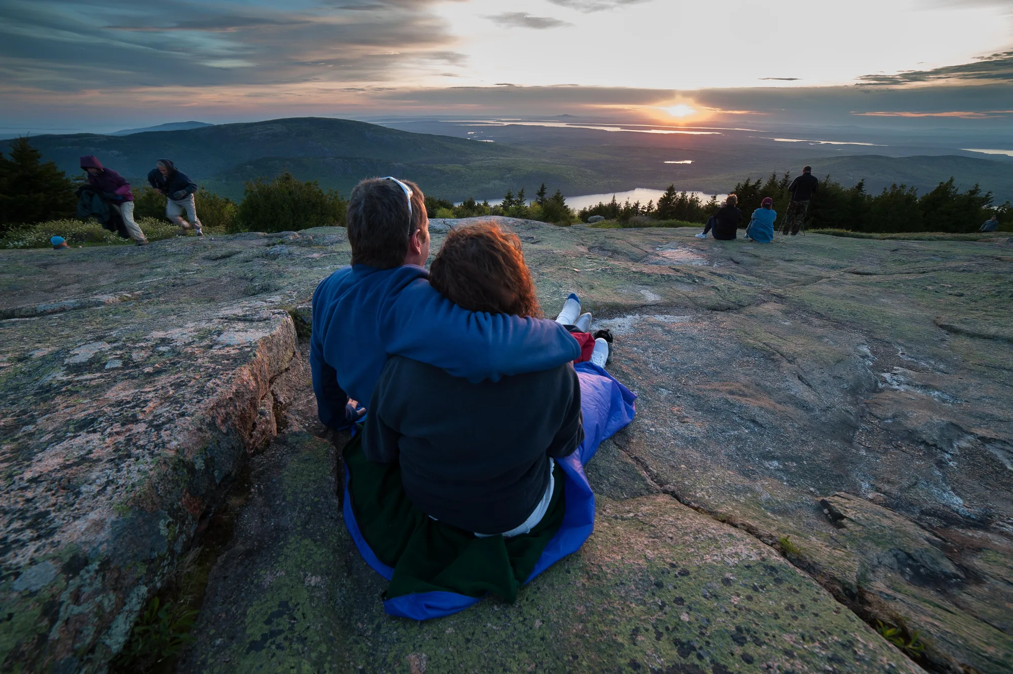
At 1,530 feet, Cadillac is what the National Park Service itself calls the tallest mountain on the eastern seaboard of the United States, built from granite that cooled and hardened underground roughly 420 million years ago, long before anything with a spine had crawled onto land. A cog railway hauled tourists to a hotel on the summit from 1883 until the hotel burned down in 1895, and nothing has replaced it since. The mountain has been reachable by road, and by a genuinely steep hike up the North Ridge, ever since.
The famous claim, first sunrise in the country, is real but seasonal, and most people who repeat it do not know that part. Published research into the actual sun angles puts Cadillac in first place only from January 11 to March 6 and again from October 7 to November 29, a little over four months combined. The rest of the year the title quietly shifts north to West Quoddy Head or a hill on the New Brunswick border, and nobody standing on the summit at five in the morning in July is any the wiser.
- Elevation 1,530 FT
- Granite age ≈420 MILLION YEARS
- First-sunrise window JAN 11–MAR 6 & OCT 7–NOV 29
The Month Half the Island Nearly Burned Down
A drought-fed fire broke out west of Bar Harbor on October 17, 1947, and it did not go out, not really, until November 14, nearly a full month later, after burning 17,188 acres total, more than ten thousand of them inside the park. It took sixty seven of the grand cottages on what locals called Millionaires' Row, a hundred seventy year-round homes, and five of the island's large historic hotels, and it came within blocks of leveling downtown Bar Harbor before a wind shift turned it back toward the water.
The forest that grew back was not the one that burned. Spruce and fir had covered most of that ground before the fire; birch and aspen, the trees that move in fastest after a disturbance, took over the burned sections instead, and they are a real part of why the eastern half of the island puts on a brighter, more mixed autumn now than the unburned west side does. Spruce and fir will eventually shade the birch and aspen back out again, slowly, over another century or two. For now the fire is still, visibly, deciding what this island looks like every October.
The Ocean Doesn't Read the Forecast Either
Every hazard on this route runs downhill to the same rule: the Atlantic here does not warn before it acts. Thunder Hole's rogue waves, the slick granite ledges above the water, the riptides the park's own safety page lists without softening any of them, all of it comes down to standing back from an edge that looks a lot more stable than it is. Water rescues happen most summers. Stay behind the railings and off the wet rock, no matter how good the photo would be.
Drive back out past Sand Beach at the end of it and pick up another handful of what still looks like sand. It is still mostly shell, still one of only two beaches on this whole stretch of coast built that way, and it is still, technically, the remains of a few billion animals that had to die for a beach to exist here at all. Nearly everything worth seeing on Mount Desert Island turns out to be something else's ending, rebuilt into a beginning: a burned forest, a bought-back coastline, a shell with nowhere left to go but down into sand.
Park history, the Fire of 1947, Sand Beach composition, the carriage roads, and Thunder Hole safety checked against NPS.gov's own Acadia history, geology, and storm-safety pages. Cadillac Mountain's granite age was cross-checked against USGS.gov's geologic dating. The first-sunrise date range comes from Yankee/New England Magazine's own published research into the sun angles involved, not from NPS. Where a figure was a measured range rather than one fixed number, we said so in the text above.